Justin Levine
January 22, 2020
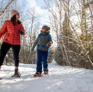
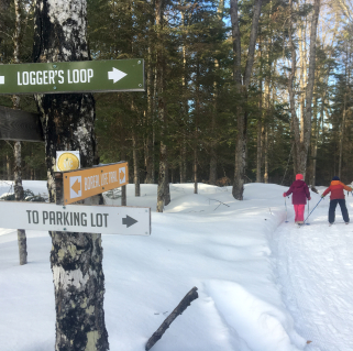
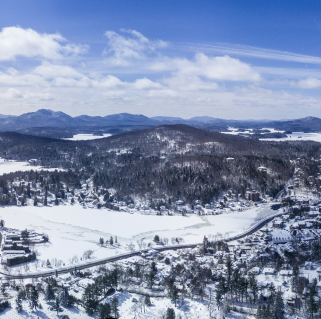
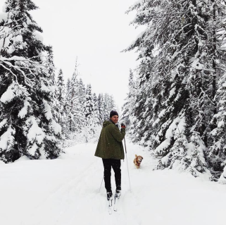
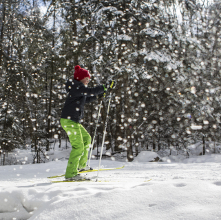
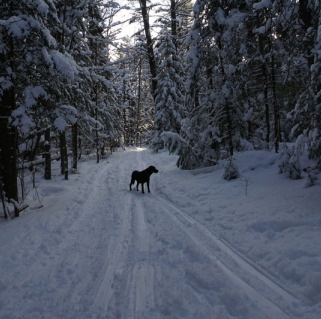
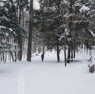
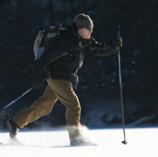
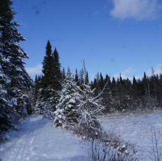
The Jackrabbit Ski Trail is well-known inside and outside of the Adirondacks. Connecting the towns of Paul Smiths, Saranac Lake, Lake Placid, and Keene, the trail stretches for more than 30 miles across the North Country.
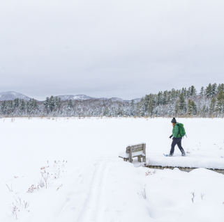
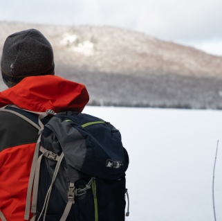
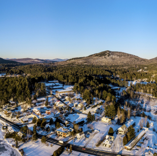
Luckily for us, the trail is accessible in a number of places, and one of the best sections to ski is just outside of Saranac Lake, where a quick, roughly 4-mile ski will bring you to the dam of McKenzie Pond. From there, a stunning view of Baker Mountain can be had for not a ton of exertion.
The Jackrabbit Trail crosses both public and private land, and the first half-mile or so of the McKenzie Pond ski is on private land, as is the parking area. Be sure to respect private property by staying on the trail and cleaning up after yourself. At 0.25 miles in, the trail splits, but it doesn’t matter which way you go as the two branches link back up just a couple hundred feet later.
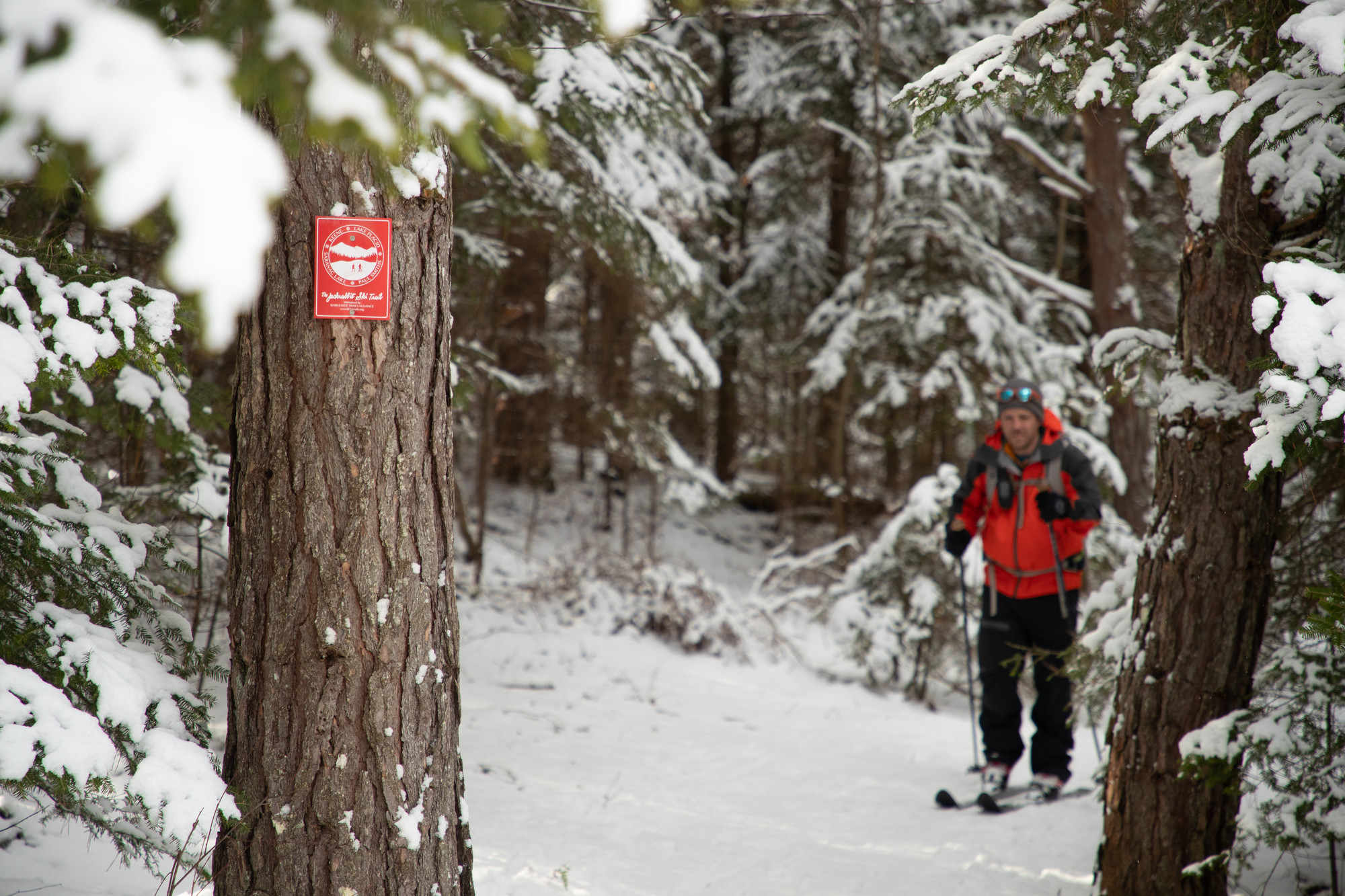
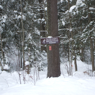
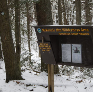
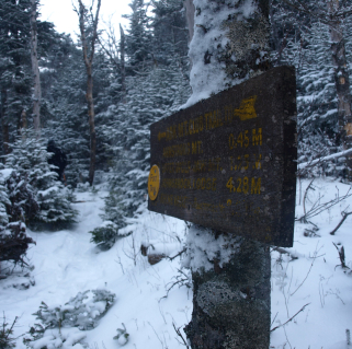
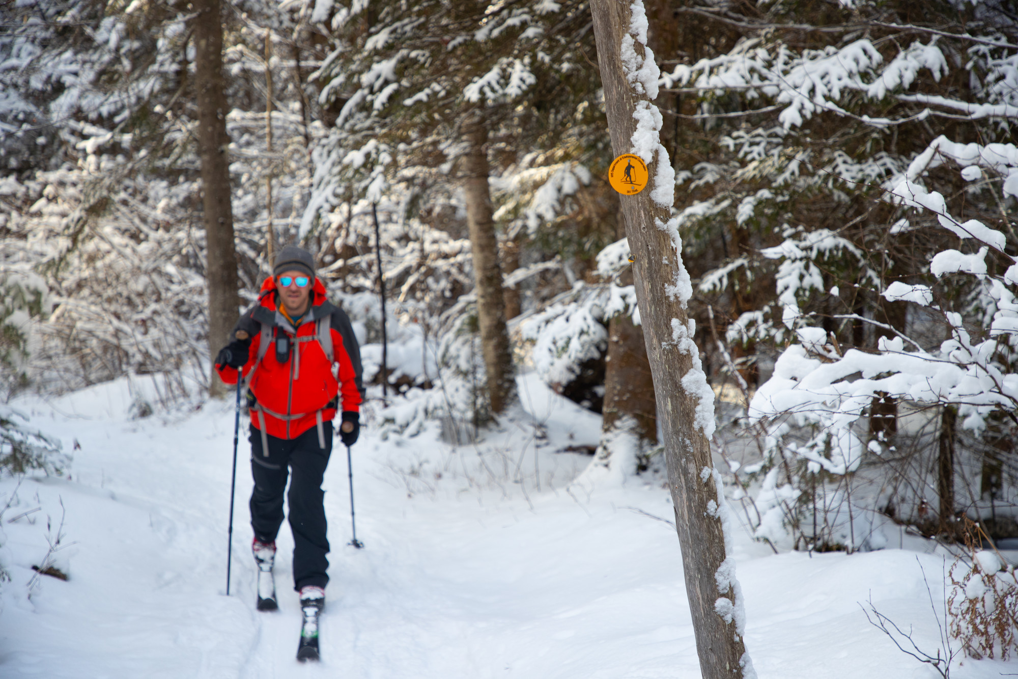
Due to the initial private land crossing, a state Department of Environmental Conservation trail register is reached at 0.5 miles, essentially in the middle of the woods. Be sure to sign in at the register so the DEC can keep track of the number of visitors. It’s also a good idea just in case something goes wrong - signing in will help forest rangers find you more quickly.
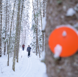
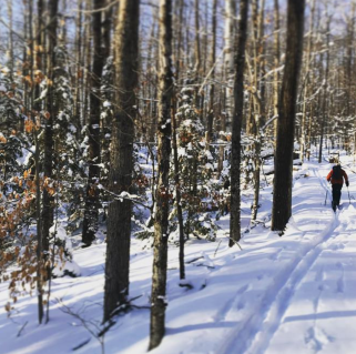
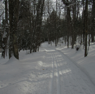
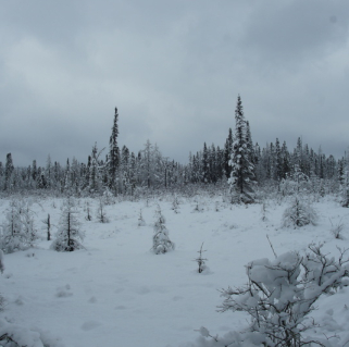
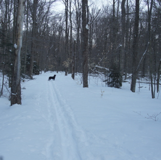
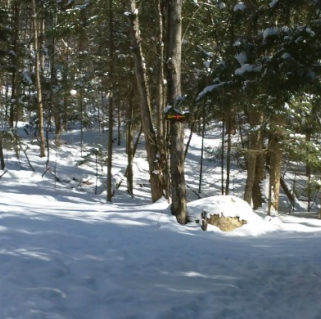
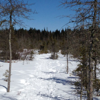
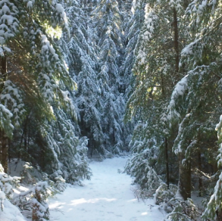
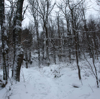
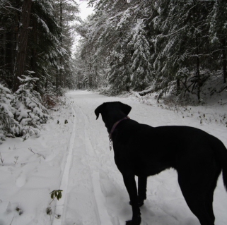
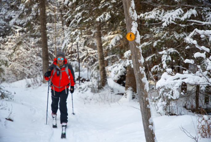
There are red Jackrabbit Trail markers up to the register, which is roughly where you will enter the McKenzie Mountain Wilderness Area. The 37,000-acre wilderness area is largely trail-less, save for some hiking trails up McKenzie and Haystack mountains, along with one of the hiking trails up Whiteface Mountain. The wildly popular hike up Baker Mountain in Saranac Lake is also within this wilderness area, but going on the Jackrabbit feels like venturing into no man’s land due to the solitude. After passing the trail register, the trail markers become yellow DEC cross-country ski markers, and while somewhat sporadic, they are strategically placed. The trail is also well built and frequently used, so following the path in winter shouldn’t be a problem.
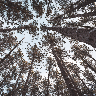
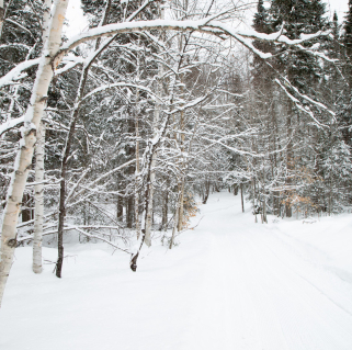
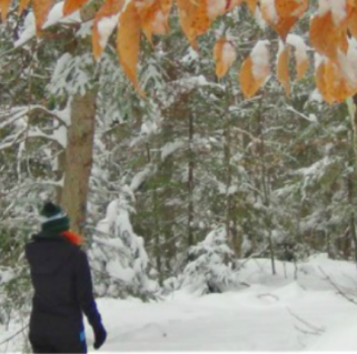
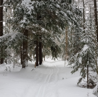
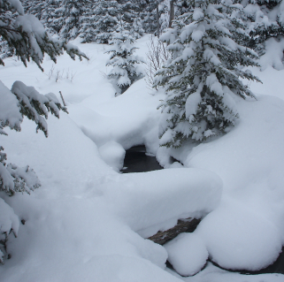
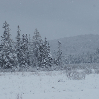
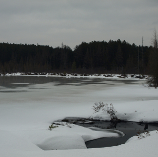
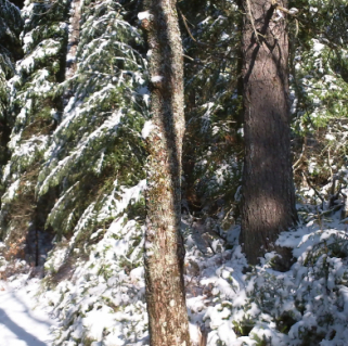
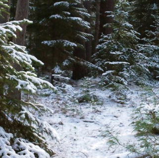
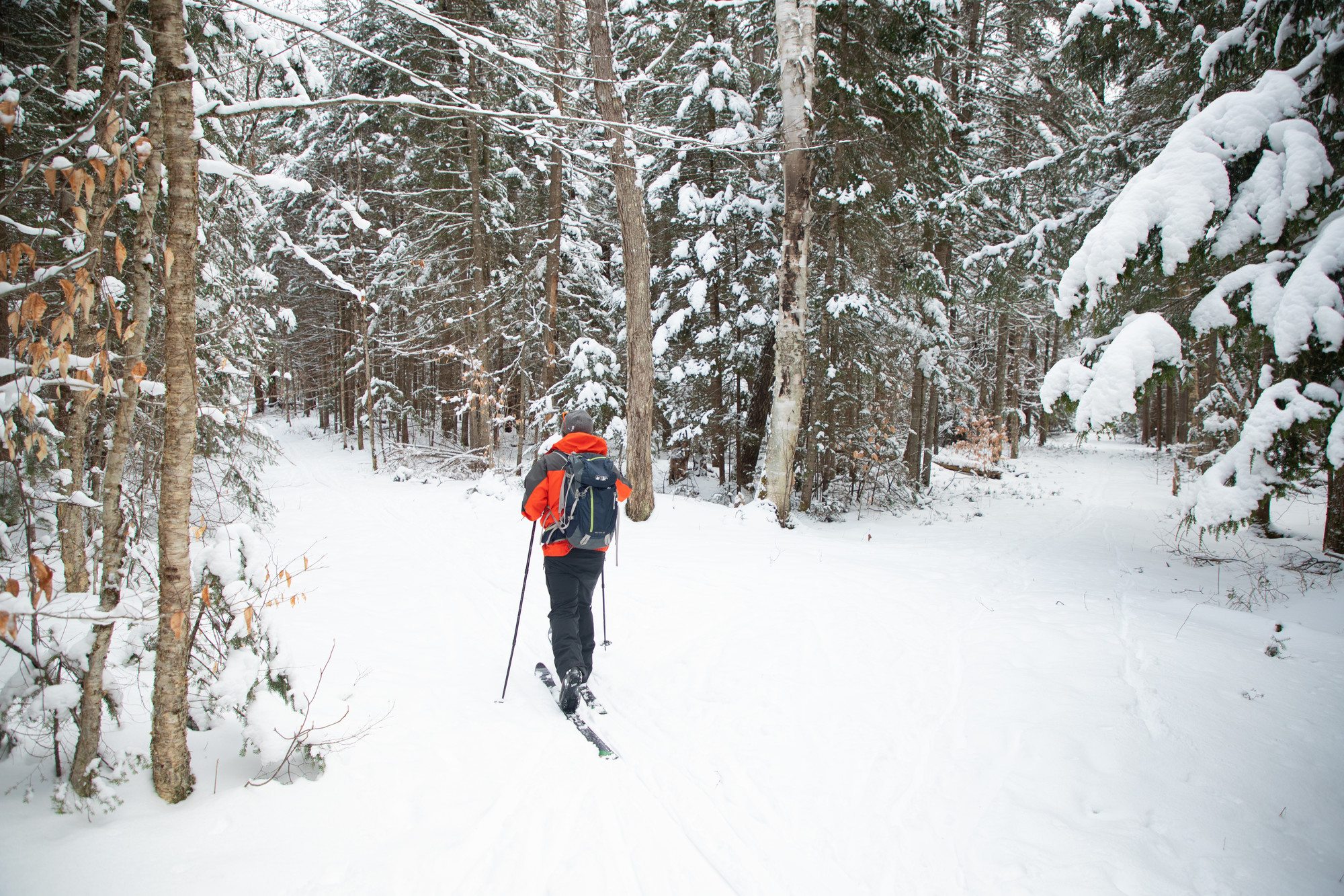
After skiing through picturesque woods, with a mix of balsam, cedar, beech, and birch trees, there is a stream crossing at 1.1 miles. This is McKenzie Brook, the outlet of McKenzie Pond. The brook sometimes gets iced over, but is typically open water. While the bridge that crosses the brook is wide and sturdy, the slope leading down the crossing, while short, is quite steep and can be icy. Inexperienced skiers may want to take off their skis and walk down the slope and across the bridge.
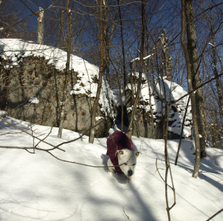
Once across the bridge, the Jackrabbit Trail continues, with sporadic glacial erratic boulders - some as big as a house - dotting the woods. There is one particularly large boulder, complete with trees growing on top of it 20 feet off the forest floor, at about 1.5 miles into the trip.
At right around 2 miles the trail splits, with the left fork leading to the McKenzie Pond dam and the right fork continuing as the Jackrabbit Trail up and over McKenzie Pass and then down into the village of Lake Placid. For this trip, bear left at the unmarked fork and continue for about one-tenth of a mile to the pond. For the more adventurous, continuing on up the pass and then down into Lake Placid makes for a great ski trip, but it’s also a lot of climbing.
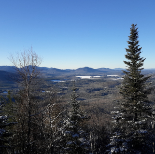
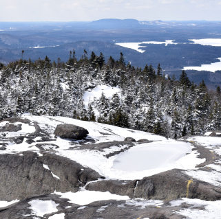
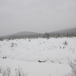
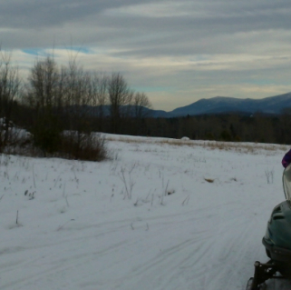
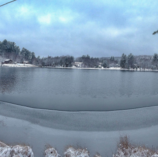
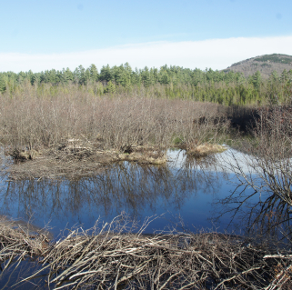
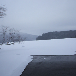
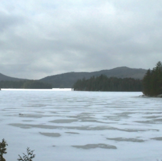
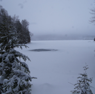
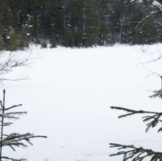
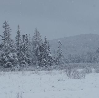
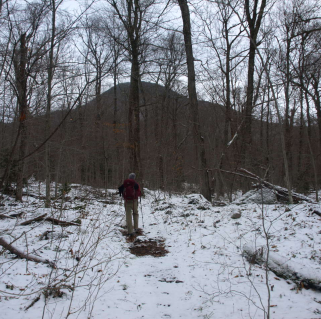
Reaching the dam on McKenzie Pond, the view is stunning. Saranac Lake’s Baker Mountain shines like a beacon, with its rocky top covered in snow glinting in the sunlight. This is a great place to take off the skis and have a snack and some hot cocoa. With the sights taken in, simply go back the way you came and enjoy a different view of the McKenzie Mountain Wilderness woods.
This quick trip to McKenzie Pond won’t take all day, so you’ll still have plenty of time to walk downtown Saranac Lake and shop for a unique souvenir or have dinner and a drink. And while this is a short ski trip, there are so many other trails, sights, events, and adventures to be had that you’ll want to book a room and spend a few days at least!
How to get there
From Saranac Lake, take state Route 86/River Street to Brandy Brook Ave. Go straight on Brandy Brook and then turn right onto Pine Street/McKenzie Pond Road. Go 1.1 miles to the trailhead parking area on the left.
Packages and Promotions
Valid Dec. 1
- Dec. 1
Valid Dec. 1
- Dec. 1
Linger Longer in Saranac Lake
Best Western Saranac Lake
Linger Longer in Saranac Lake at our supremely located property, Best Western Saranac Lake. Stay 2 nights or more and get 15% off!

