Spencer Morrissey
February 16, 2015
The Jackrabbit Trail in 3 Helpings --
Day 1: from Paul Smiths to McKenzie Pond Road
The Jackrabbit Trail is a prime piece of cross-country skiing real estate in the Adirondack Park. This trail is roughly 35 miles in length and runs from Paul Smiths to Keene. However, the sections from McKenzie Pond Road to Keene are used much more than the Paul Smiths to Saranac Lake sections. Either way, the entire trail is worthy of a visit offering an interesting taste of the entire region. Not only that, there are sections of the Jackrabbit Trail that are perfect for skiers of all levels to use.
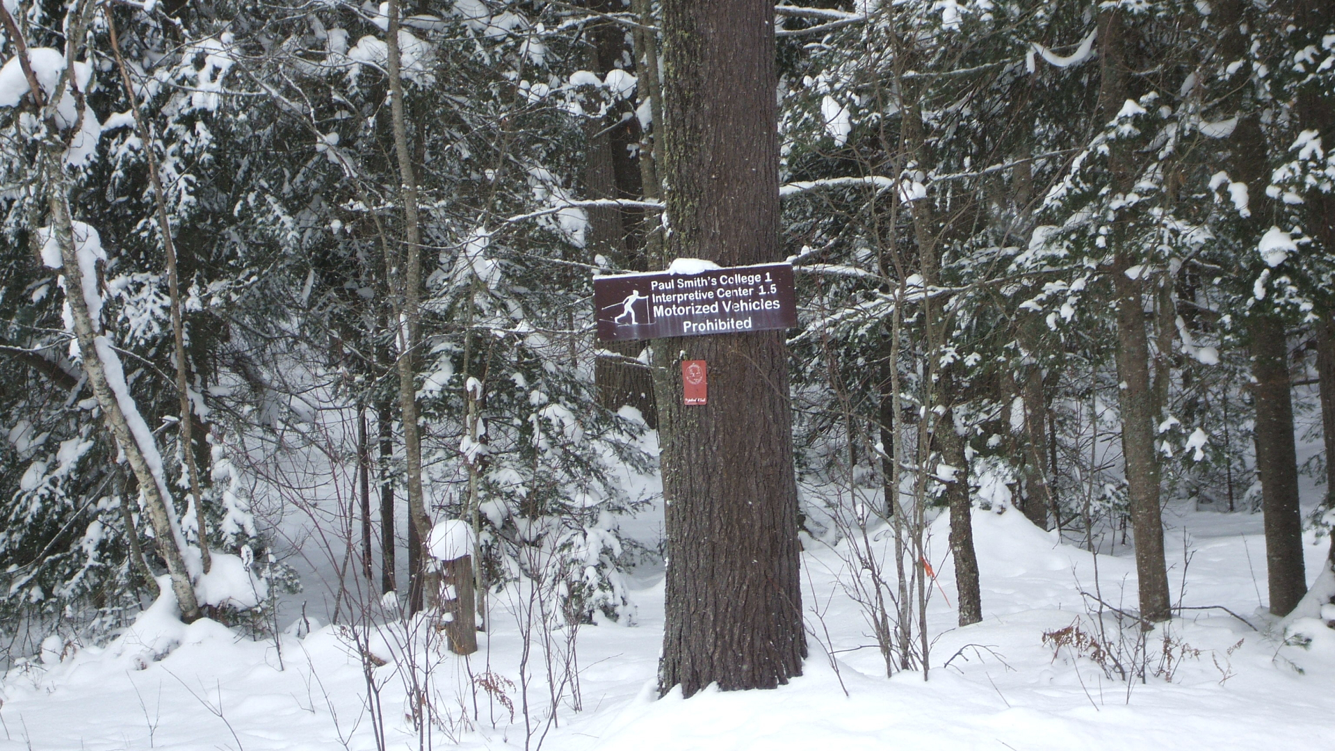
The start of the trail is located near the Visitors Interpretive Center (VIC) in Paul Smiths, so we chose to park in the VIC parking lot. The first section we had to tackle was from the VIC to Lake Clear where we would pop out onto Route 30. This section we had mapped out to be roughly 8.0 miles.
Paul Smiths to Lake Clear
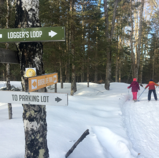
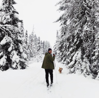
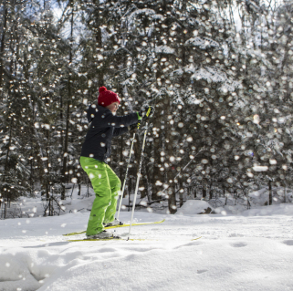
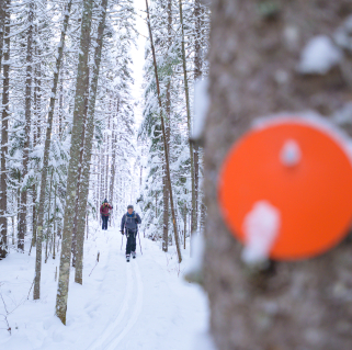
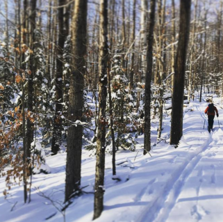
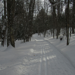
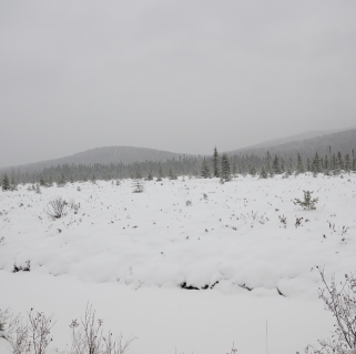
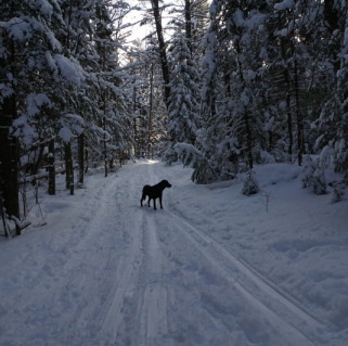
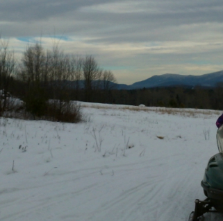
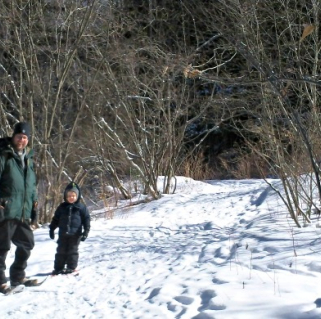
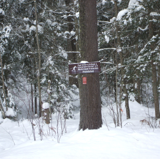
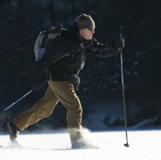
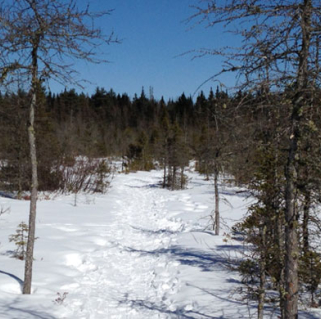
Once we got all suited up and our skis clipped on, we started heading into the woods, and quickly came to an open field area. It took a few seconds to find where the trail went from here, which was through the Paul Smith’s Silviculture Area. We saw an orange metal post, which we found to be the spot where we would jump back in. The trail skirted Osgood Pond which offered us some neat insights into an area that we had never before seen. Then at about 0.5 miles from the VIC, we hung a left at an intersection - at this point we were not quite sure if we were going correctly, this was a confusing area and lightly marked.
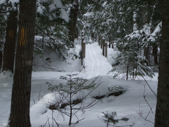
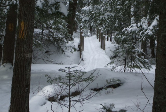
We dropped down quite swiftly, but the deep snow slowed us down enough to help us remain standing. At this point we checked out the lean-to on Church Pond before we continued along the trail and over a narrow single-track bridge. We soon came to an unmarked intersection and made a wrong turn but discovered our error rather quickly, and our next guess was to continue straight, this choice was correct and we soon saw a Jackrabbit Trail marker making us feel a bit better. Then we were at the crossing of White Pine Road at about 1.5 miles from the VIC. We easily found the continuation directly across the road, but completely untouched. Shortly beyond the road crossing we came to an unmarked intersection along what looked to be an unplowed woods road, this was an easy decision to take a left.
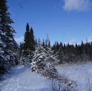
Then we were “welcomed” with a very steep downhill with a hard uneven left that immediately brought us to the crossing of Jones Pond Road. For me this was a hidden welcome as I brushed off the snow and undug myself from my “Superman” landing at the base of the hill. We crossed the road and again easily found the continuation of the trail. Now we found ourselves in an old field, snow glistening and untouched by anything other than the light tracking of a local squirrel. Once through the field we slowly came to a steady uphill ski, which brought us to yet another intersection where we made an obvious turn. At this intersection we had to continue our climb to the top of the hill, past an old hunting cabin off the woods to our left. Once we crested the height-of-land we had a slow downhill that delivered us to Route 86, still only roughly 2.5 miles from the VIC.
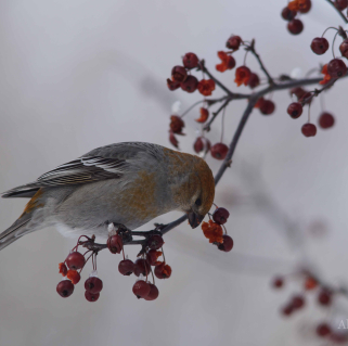
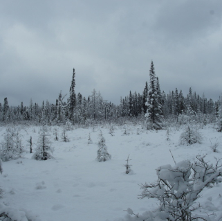
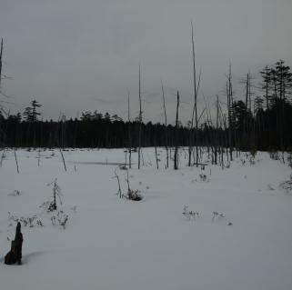
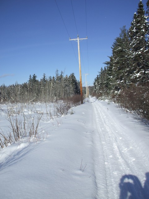
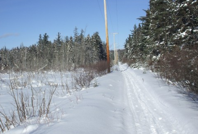
We crossed Route 86 and skied through a small island of trees. We crossed the secondary loop road to get back onto the trail, which to our surprise was very obvious and thankfully tracked, we were getting tired. Next were a powerline and then another old field with a defunct car. Past the old car the route followed the state boundary line which was a very relaxing kick and glide. Equally startled as us, was the pine martin that was grazing something at the side of a conifer tree, the only wildlife we would see all day. I was not quick or subtle; I couldn’t arm my camera fast enough. We passed through the balsam forest, and slowly transitioned into a hardwood forest. Next we were on a woods road which led to a second woods road and then a long stretch of snowmobile trail which would bring us down to another powerline. The powerline was very flat, long. It is heavily used by snowmobiles, and in many sections caused a wavy effect which made it hard to get any momentum going. Along this route, we passed by numerous small marshes and saw many identifiable wildlife tracks. Nearing the end of this section, we crossed Transfer Station Road and then a secondary road that is located very close to Route 30 in Lake Clear. Our next leg that we would tackle this day was to get us to Lake Colby in Saranac Lake, we had this section pegged at just under 6 miles.
Lake Clear to Lake Colby
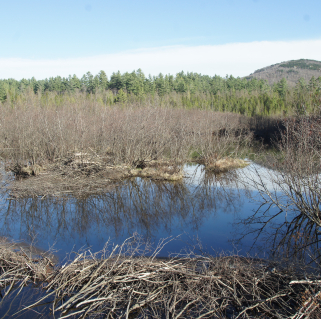
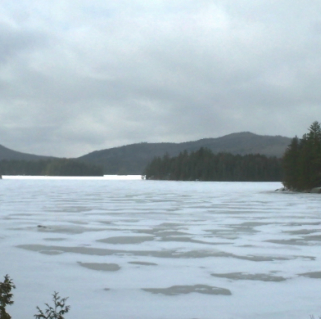
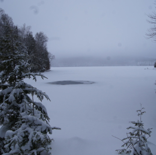
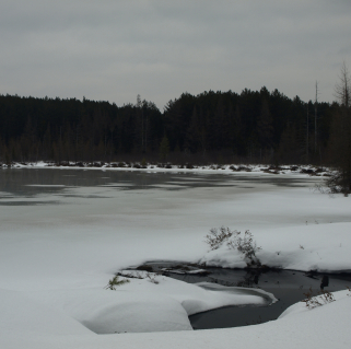
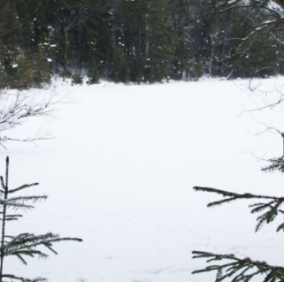
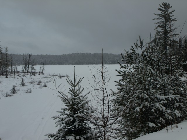
In Lake Clear, we came out near the Lake Clear Elementary School and followed the roadside down to the railroad tracks which we knew was not just a snowmobile route but the Jackrabbit Trail. We hopped on the tracks and skied past Charlie’s Inn and then over Route 186. From this point, it was one straight away after another, following a heavily used snowmobile trail. This is not the most impressive section of the Jackrabbit Trail, but it is part of it, and we wanted to do all of it and not skip out on the parts that were less appealing. We did pass by a small marsh on the left after about 0.5 miles which was a nice spot for a few snapshots and then at McMasters Crossing, and shortly beyond there, an outlet of McCauley Pond with nice views over this frozen waters. Then we found ourselves at the sandbar separating Lake Colby and Colby Pond. This was an interesting area, but crazy winds cut through us as it blew snow cross lots. In about ten more minutes, we arrived at Route 86 in Saranac Lake.
Lake Colby to McKenzie Pond Road
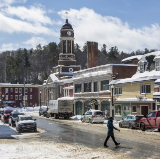
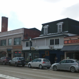
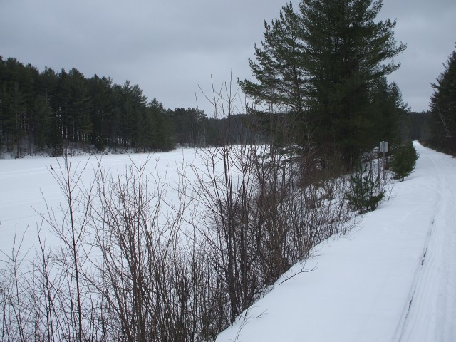
This next section was only about 3 miles in length and rather fast. On Route 86 we removed our skis to cross Route 86 and then Cedar Street and back onto the railroad tracks. There isn’t much to say about the railroad other than it's still a snowmobiling haven, but we did see more signs of cross-country skiers. There is one little downer about this section - there are a ton of road crossings where we needed to remove our skis as we made our way through Saranac Lake. Aside from that, the conditions were well-groomed by the snowmobiles, and much less on the wash-boarding effect, maybe due to the reduced rate of speed they are permitted to travel. We quickly came to the Adirondack Scenic Railroad station but had to remove our skis to cross Margaret Street and then Route 3. Another short stretch crossed the Saranac River and then the skis came off again for Pine Street, then shortly after that under a bridge to a second crossing of Pine Street, where the skis came off again. Shortly we passed behind Pine Ridge Cemetery and then had to remove our skis one last time to get across Brandy Brook Avenue.
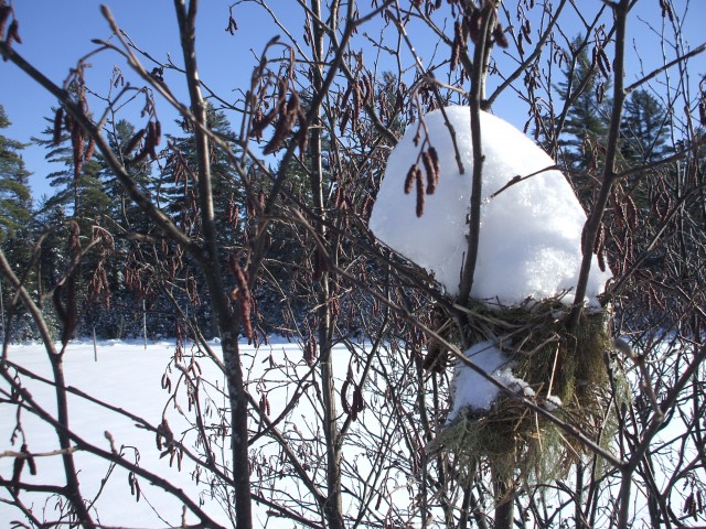
This next section wasn’t too bad as we skied behind the North Country Community College Sports Complex, then past a marsh, and a small pond. Not far beyond, we finally reached the actual trail section that leaves the RR tracks. This will lead us to McKenzie Pond Road, where we parked our second car.
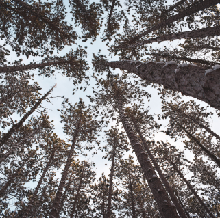
We had a great time on this next section. Even though short, it was pretty interesting. We especially enjoyed the area that passes through the red pine plantation and then a spruce-fir forest. Then all of a sudden, we were at McKenzie Pond Road and on our way to get some serious dinner and plan for day 2 which would bring us from here at McKenzie Pond Road to the Lake Placid Brewery a much shorter day indeed.
Packages and Promotions
Valid Jan. 21
- Jan. 21
Valid Jan. 21
- Jan. 21
Stay and Dine
Voco Saranac Lake
Receive a 50 dollar credit per stay to use in our Boathouse Saranac Lake Pub. Enjoy an exceptional dining experience with unparalleled views great...
