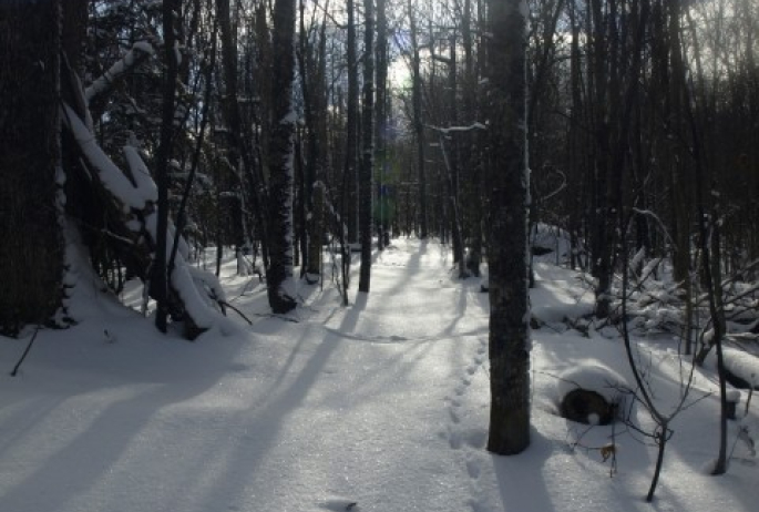
What is the draw of the Debar Mountain Wild Forest? Why does it in intrigue me so much that I must go back and play, time and again? I can only guess it’s the friendly forests and the surprisingly unique views that the mountains provide. This new territory for Brandon and I would be an exciting day of interesting finds and steep, rocky terrain.
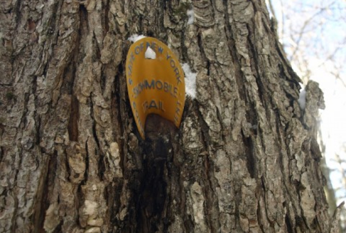
With our rucksacks packed to near capacity we both made the drive from opposite directions and met in Gabriels at the diner. From there we would park a car on the west side of Jones Mountain, right at the snowmobile trail and on the corner of state land. Piling gear and gumption into my car, we proceeded to drive around the mountain to the east side of Blue Hill, where we would start our little backcountry pursuit.
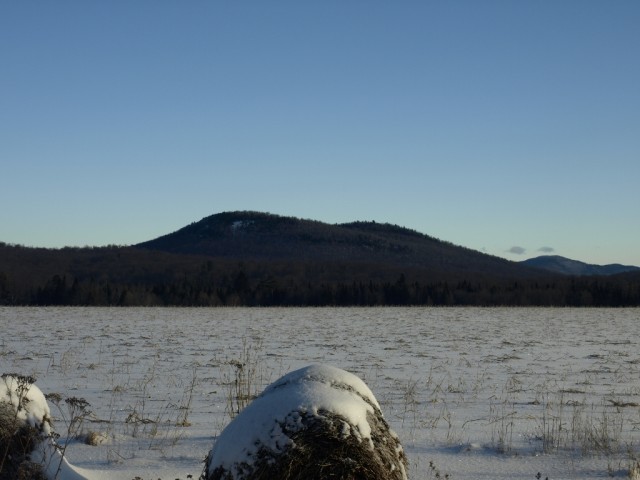
Getting dressed for the cold
The morning was a bit chilly so I didn’t hesitate to break open a pair of hand warmers and tuck them into my gloves, down near my fingers. My fingers have taken some serious punishment over the years, even with all of my efforts to keep them warm and dry. So now I just proceed on the side of caution and do all I can to avoid getting a case of the “needles,” or as ice climbers call it, “the screaming barfies.”
Heading off for Blue Hill
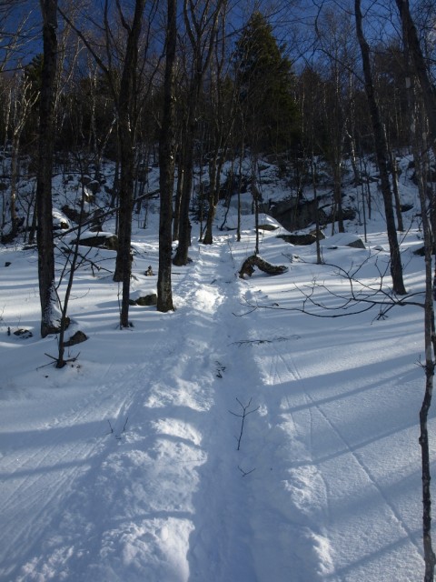
We parked near the end of a side road in a small plowed area where old woods roads run in all directions. Using our GPS we chose the road best suited for direct travel to Blue Hill, which was roughly 1.6 miles away, the longest section of the day. We proceeded through the open fields. Remaining on the main passage through the woods we quickly put about a half mile behind us before the access roads ended at a wall of balsam and red pine.
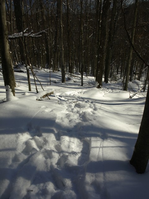
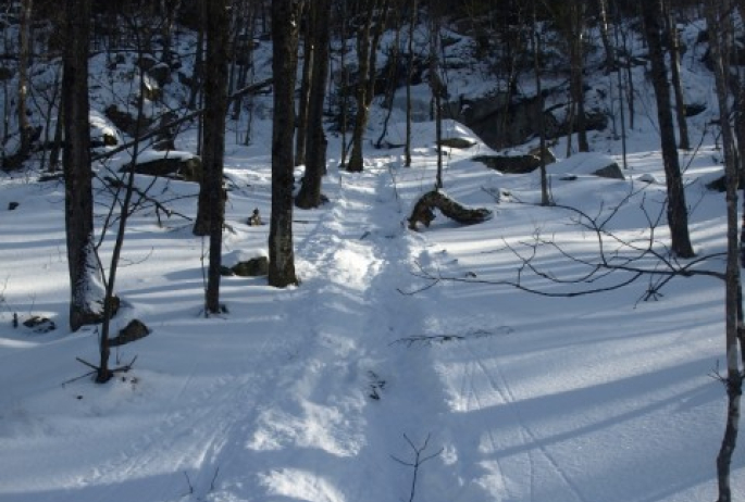
The forest from here would prove to be as welcoming as any in the Debar Mountain Wild Forest, and in some cases we believe we may have been on an obscure and abandoned trail. About 10 minutes elapsed before we found ourselves in a sugar bush and once again on an old road. This one was more of an old logging or skid trail filled with deep tire ruts. It proceeded up the shoulder of the junior bump of Blue Hill.
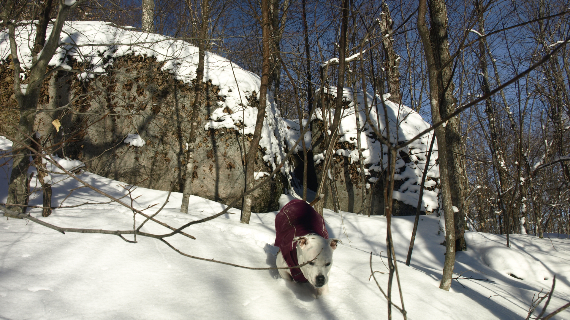
It was an easy stroll on a steady uphill grade. Passing over the shoulder of the smaller knob we started a descent to the base of Blue Hill. Blue Hill is made up of a twin top whose elevations are within 10 feet of one another. The one further west seemed to be slightly taller according to Garmin. As we made steady and steep progress up the lower top, we took a bit of extra time checking out the random rock formations along the way. The summit of this smaller top was heavily wooded and what appeared to be on the top was a small boulder resting there.
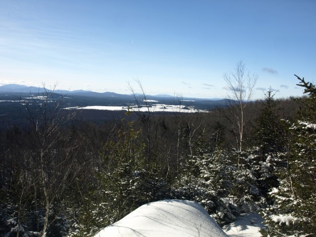
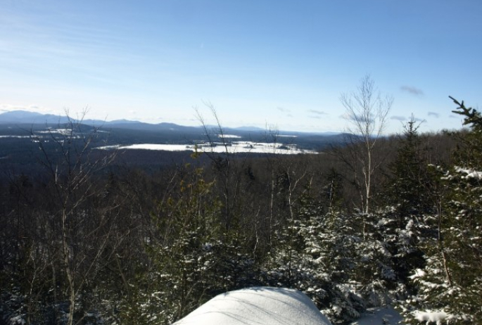
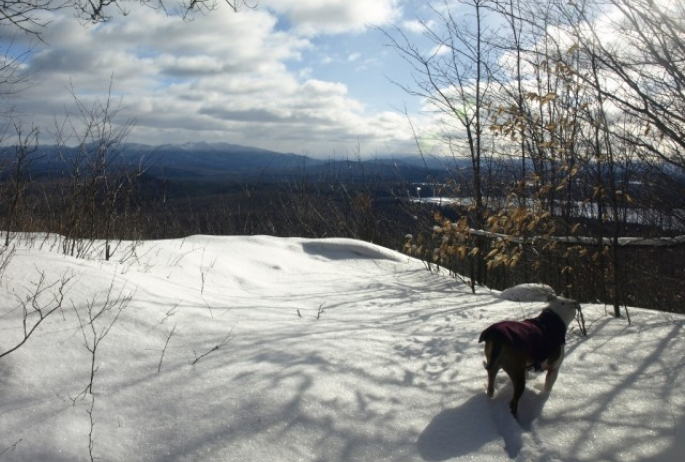
With no reward we didn’t hang around in the cold shade. We started our trivial descent toward the higher knob. Just off of the summit, however, we noticed a clearing through the trees and quickly ran over to gain our prize. We had outstanding views out over the valley below and toward the High Peaks. We could even see them making snow on Pisgah. We basked in the warm sun to take leave, if only for a moment, from the much cooler, shaded forest.
Time to visit Jones Hill
Once we decided to take the leap, we jumped right back in and finished off the descent to the shallow saddle. We didn’t hesitate to climb to the slightly higher top, which according to my reading is about 6 feet higher. From state Route 86 on the way in we could see open rock on the side of the mountain, not far below the summit, but we couldn’t locate that easily or what we considered safely. The south side of the mountain, where the cliffs were located, was extremely steep and windblown down to a solid icy base. Purchase with the snowshoes was nearly impossible. We headed a bit more to the west side in hopes of a safer descent on our way to Jones Hill. The windswept terrain remained beneath us to the point where a butt scuttle was needed to get from tree to tree.
Eventually we got caught between a rock and a hard place, literally. In all of our efforts to avoid the cliffs, we happened right upon them. We worked our way down slowly only to get turned back three-quarters of the way down looking over a 15-foot drop. Back up we went, and over to our left a bit further we could see a shallow gully that we thought might work better for us. If not we would have to go all the way back up, and who knew how long that would take.
The gully proved to be doable. It was steep but it had living trees for handrails and support. We butt slid with upmost control, inching our way down. I tossed my poles downslope to get them out of my way, with hopes of not impaling myself on them as I slid. The final butt slide to reach my poles was a bit more of a leap of faith as the next tree was about 20 feet away and I needed to tag it with my snowshoes. I did, and managed to grab both poles while in rapid pursuit of a sudden stop.
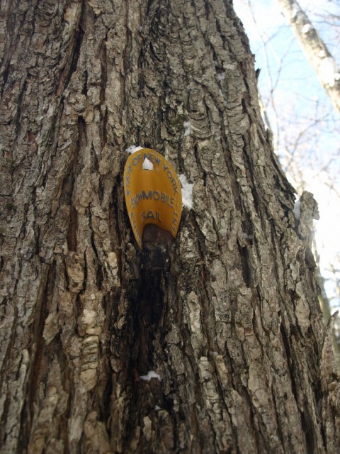
Next came an epic butt slide of well over 200 feet, planned and controlled. It was a straight shot through the trees, and as long as a pongee stick didn’t poke up and stab my tailbone I would be successful. It was a grand success and one of the fastest I can remember; I only wish I had a video of it to share. We were pretty much down in a shallow valley and coasting over what appeared to be a wetland, but it was frozen solid. We crossed an old snowmobile trail that leads through the saddle to someplace I am unsure of. If a recent skier hadn’t broken out the path, I am not so confident we would have even noticed it.
Slowly we climbed the face of Jones Hill, and before we knew it we were in full out scramble mode. The rocky and steep terrain got our hearts a-pumping and our hopes high for stellar views. The crust under us gave us outstanding traction with our snowshoes — hardly a slip hindered us. Once atop the long ridge of Jones countless views were unveiled. Naked trees gave us unique looks at the area and as far as the High Peaks, a view that would be most likely lacking in the summer. On the ridge we found a trail, wide and very apparent, so we used it to get to the actual top of the peak, and there it was — the payoff for a day’s travels through the forest.
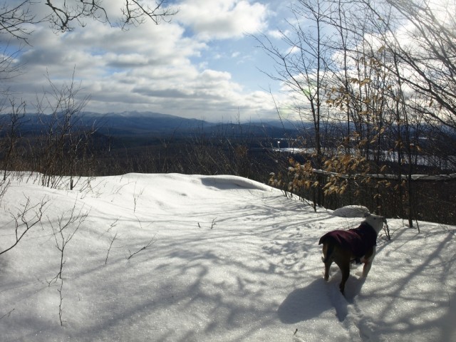

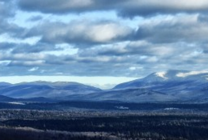
The bluebird sky with a spattering of clouds brought to life the mountains as far north as Averill Peak and all the way down to the Seward Range, past the MacIntyres, and through Indian Pass. We hung around on the open top for quite some time, soaking up the warm rays of the sun, taking long sips on hot tea, and reenergizing with various snacks with high sugar content. But we would have to leave, it was inevitable. The car was parked some 0.8 miles away in an “as the crow flies” fashion, on the small corner of state land that existed along the roadway. We hoped the boundary would be obvious, and it was soon apparent we would easily be able to follow it.
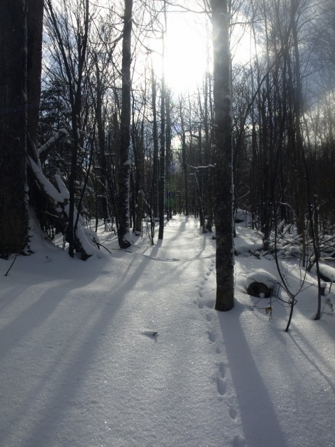
In our rapid effort to exit the top, and with the ease of travel through incredibly open maples, we were practically running. As many of you may know, running in snowshoes is not an easy feat, and in snowshoes made for mountaineering and not running it was even more impressive. I was not impressive, but with my simple act of mimicking Superman, I was airborne. My snowshoe’s crampons snagged unexpectedly and rather than try to fight it, I simply lay out in perfect form and slid safely into home plate.
Now on a much mellower pace we strolled the remaining half mile or so, right to the car we spotted earlier in the day, about 4 hours ago, to me more exact. It was surely time for some sort of nutrition and something more flavorful that water. We were so close to Donnelly’s, I only wish they were open, but instead we headed into town to grab a snack that actually consisted of something warm.
