Through the grapevine I had heard about a new trail up Goodman Mountain, formerly known as Litchfield Hill. I knew nothing about the DEC forming a trail up this peak, but it would be a good idea, I thought to myself. I had been up this 2000’ peak a few years ago in winter and found the woods to be very open and a pleasant bushwhack; it would be nice to see it under different terms.
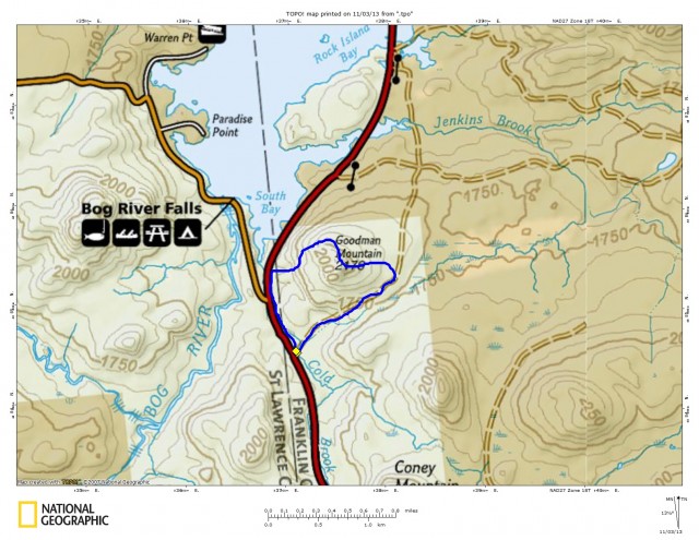
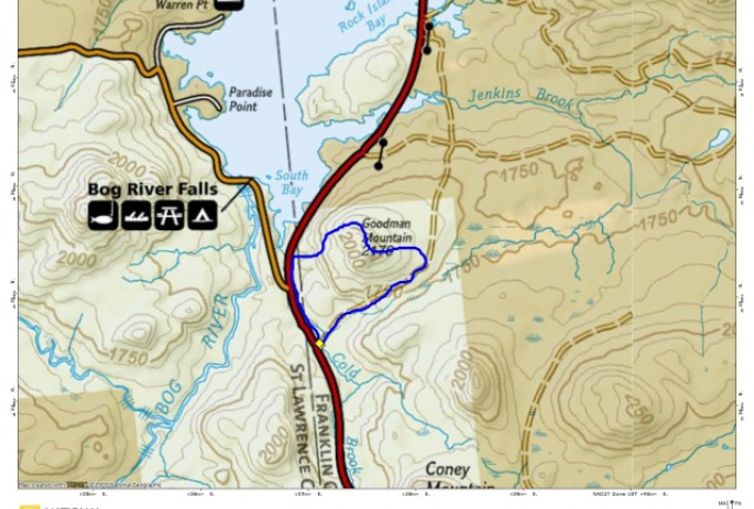
This little gem is located behind what the locals know as Lumberjack Spring off Route 30 between Long Lake and Tupper Lake and this parking area was the recognized location of the trail. I decided this would be a nice hike for Kole and I and a perfect day to check it out. It’s not every day my son Kole decides he would like to hike with his old man, so I thought I should take advantage of it. We parked behind Lumberjack Spring in the large parking area and as I did a few years ago walked the Route 10 that is located there. The old road between Tupper Lake and Long Lake is located at this spot and is now becoming more grown in by the year, even though slightly cleared.
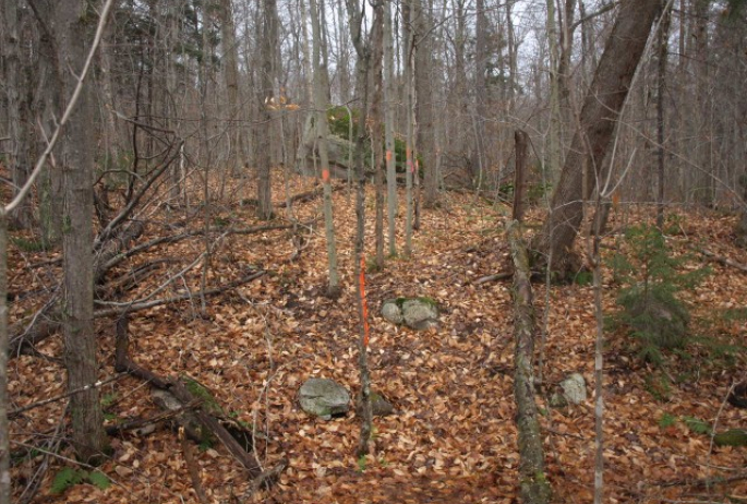
The road is washed out just past the parking area where a swollen Cold Brook took it out. Once we jumped across the brook, which was almost too far for my abilities, we continued up the road. We kept a keen eye out for a flagged and paint blazed route to our left, but we were unsure exactly where it would be. We continued for quite some time and finally I believed, out loud, it should be at the height-of-land along the road. Then there it was, clear as day with flagging and small paint blazes on the trees. To my surprise though, it did not seem to be cut out or widened at all, but just clearly marked.
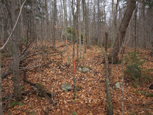
Once on the trail it was very easy to follow, but also very slippery. The fallen leaves covered the possible treading of previous visitors, so much of the loose rocks and stumps were hid. We then came to a somewhat large cliff area, where we could see a small red flag atop it, so we went for it. Kole first, scrambled up the slippery rock slope, over an obvious porcupine den, which he totally missed, to the top of the first lip.
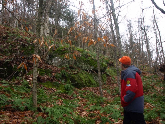
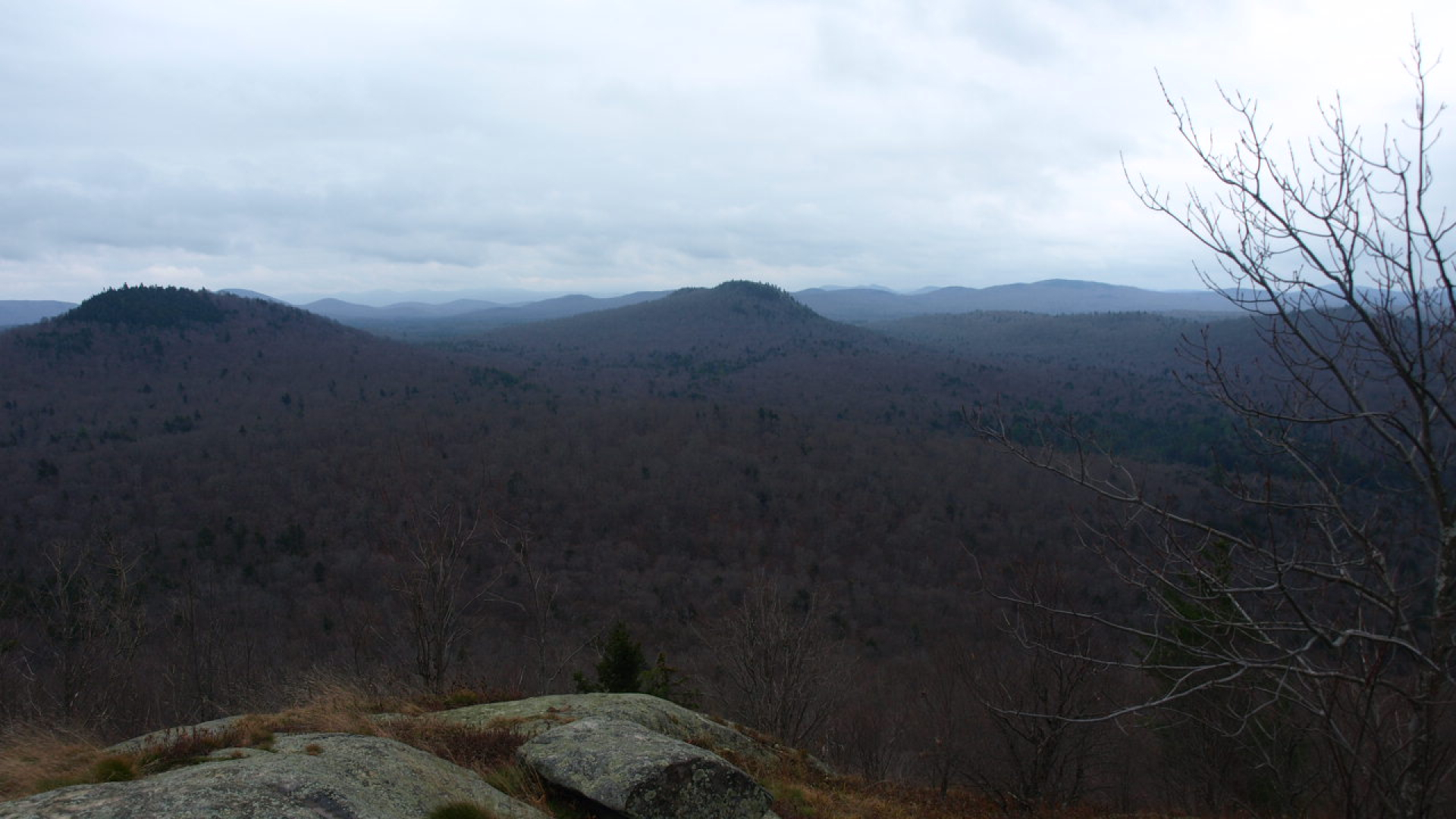
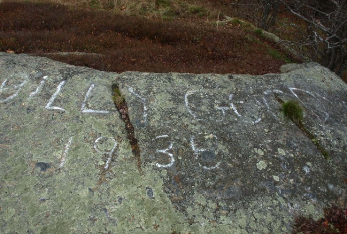
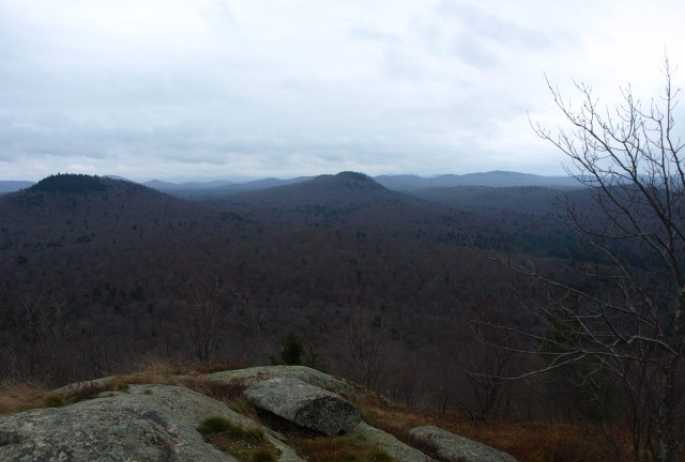
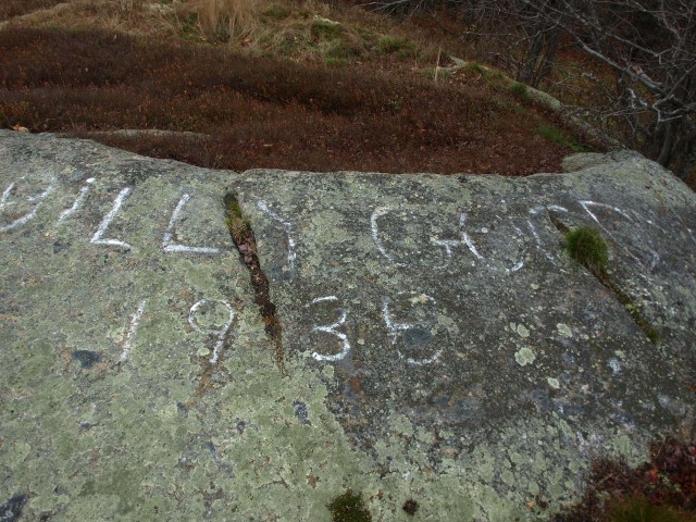
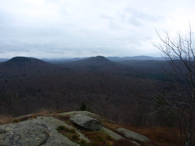
From here we could see where the trail went, and it wasn’t over the rocky slope, but around it to the left. We made our way to the less aggressive marked route and slipped our way to the top. The rocky summit was as nice as I remembered. With snow on the previous trip, I could not see that there was Billy Goodman painted on the summit rock.
On the way up we had noticed that the marked trail continued around the summit and back down toward Route 30, so we decided to follow it. The route was well laid out but as simply a route through the woods with no cutting at all. Eventually we lost it and decide to just head straight for the road. The forest was very open, but steep and slippery. We happened across an old hunting blind that had been crushed by time and a couple small trees. After checking it out and picking up a bit of the trash (we couldn’t carry it all out) we moved along toward the road. We came out about 0.5 miles from the parking area, which was a nice leisurely walk along the road.
Interested in visiting Goodman Mountain and other outstanding hiking opportunities in the area, look for me at a local guide service and we can do it. Interested in other snowshoing adventures, but don't have the gear? There are some excellent gear shops in the Saranac Lake Region that can help with that.
