A Bushwack snowshoe through the Debar Wild Forest
Baldface Mountain weighing in at just less than 2900-feet in elevation has been itching at me for quite some time to visit, and this winter was my time. But to give you a little background in my fascination of this peak I will start with a small hike that led up to it.
Debar Pond
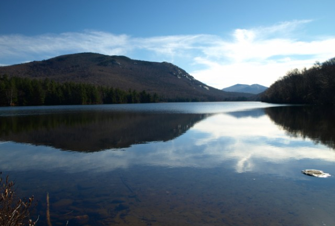
It was a warm day and I was exploring the region, doing small hikes here and there when I decided to do up the small out-and-back hike to Debar Pond. The trail back to Debar Pond is very short, more like a portage for paddlers than a true hiking destination trail. Once I reached the Shore of Debar Pond my eyes quickly focused on the cliffs of Baldface Mountain to the SE end of the pond, I knew one day I would have to explore this apparent gem.

Baldface Mountain
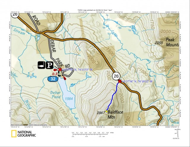
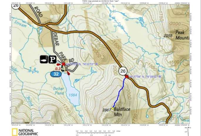
That’s where part two of this story comes into play. Other than looking on a map for the best place to start, I hadn’t really done much research on the peak, or even if it was located on public lands. I guess I just hoped for the best and set out for a drive to find out – with a backup plan of course if it wasn’t accessible. The one factor I didn’t keep in mind was the snow buildup along this country road (CR 26) and my ability to park safely on the side. We did manage to find a spot alongside the road, but it wasn’t the best. It was along a straightaway so it would be easily seen; as long as it didn’t snow too much and a plow didn't need to go through it would be OK. The summit was less than a mile in a straight line from the car - I couldn’t imagine it would be an all-day adventure.
We wiped the cobwebs from our eyes, strapped on our snowshoes and set the GPS to cruise. The GPS read that it was only 0.75 miles to the summit. But, as you may know, you can’t bushwhack in a straight line, and no trail is built in a straight line fashion, so it would end up being around 1 mile to the top. I usually add about a quarter mile on for every mile the GPS says it is, it’s a decent rule-of-thumb, but not foolproof. The needed ascent is true though, about 1020’ in that mile would be the gain, not overwhelming but steep none-the-less.
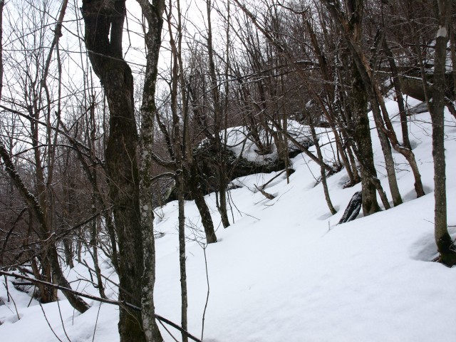
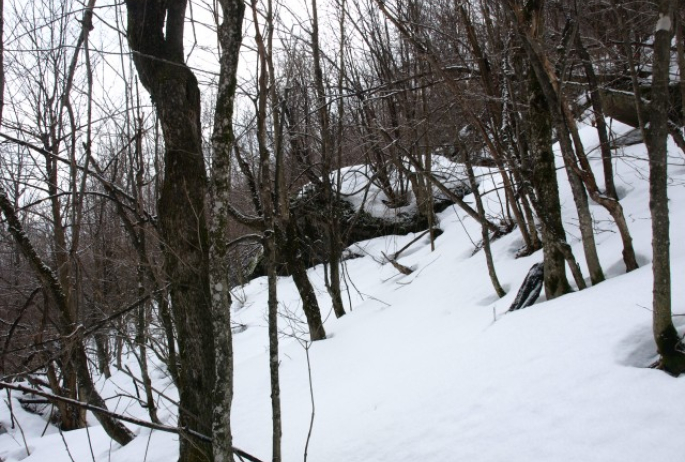
The forest was pleasantly open with leafless maples, beeches, and a few ash trees. The snow was fairly consolidated under the 4-inches of powdery fluff. The base had a slight crust on it, which I would periodically break through, but nothing that proved to be more than a couple of added inches. We were about a quarter mile in when we started a relatively steady climb. I had planned to hit the ridge sooner and miss out on the major steeps, but the forest kept pushing us left. We flipped up our heel-lifts on our Atlas snowshoes and kicked into the snow pack.
The grade continued to get much steeper and the underlying crust became more slippery, making a few of the steps much more difficult than anticipated, but I thought about how perfect it would be to butt-slide back down. Soon we approached a small cliff band that we decided to climb through, rather than avoid; we always love the challenge of a bit of vertical in snowshoes. That brought us up to a very large erratic on the ridge and behind that was much smoother sailing on a gentle slope. Now on the ridge we continued a rather fast pace, kicking in steps as needed, which was rare, and quickly we popped out on the rocky summit.
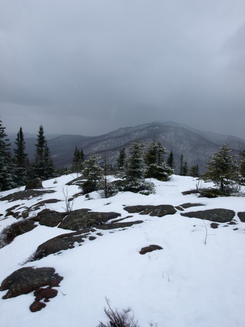
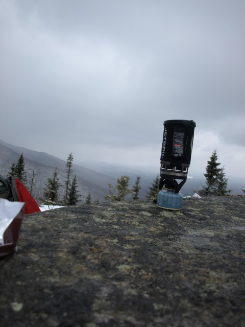
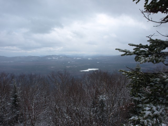
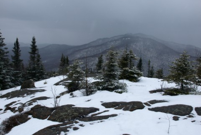
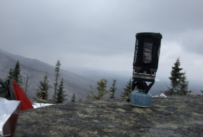
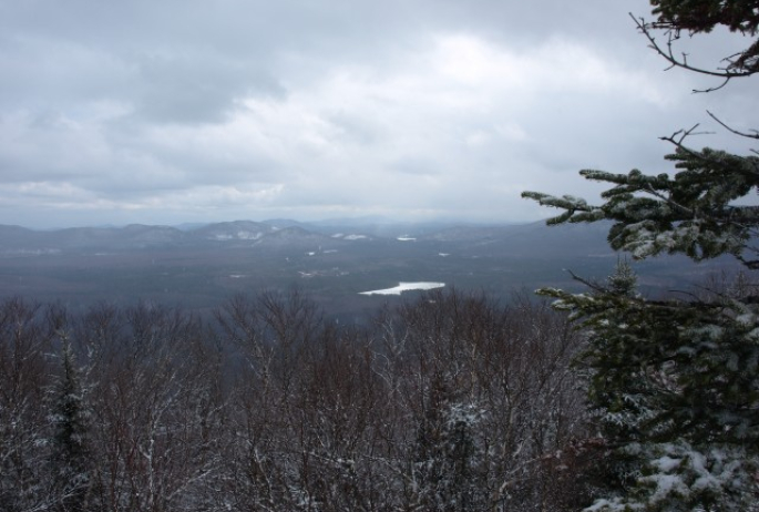
We were pleasantly surprised at the nearly 360 degree views we had, too bad it was a bit overcast with a storm front moving in. Debar Mountain and Pond was right in front of us, looming, with that snowstorm over top. It wasn’t long before we were immersed in pelleting “Styrofoam” snow. But that didn’t stop us from breaking out the Jetboil stove and boiling ourselves some balsam tea with a bit of orange peel to warm our insides. After a cup or so, and some stale gingerbread chocolate that had been in my pack for way too long, we made a fast descent back to the car, before the plow buried us in.
What a great day in the woods, even though it consisted of a longer drive than hike. We did however treat ourselves by swinging into town to have a hot soup and sandwich at the Blue Moon Café on Main Street, and then a hot coffee and brownie from Nori’s for the ride back home.
Interested in learning the technique of bushwhacking and route finding? Maybe you want to learn GPS or map and compass use? Seek out a local guide service today to set up a group or private class.
