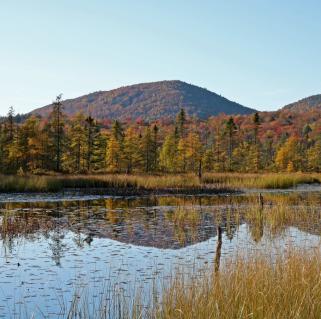
Spencer Morrissey
August 04, 2013
I just so happened to be in the area of Horseshoe Lake and wanted to revisit the new trail to Black Pond, which I had found a few years back. A few years ago I wanted to visit Black Pond so I planned a bushwhack course to its shore and followed through one day. Upon my arrival at the shoreline I discovered a herd path along shore that lead to a boat, which was on a DEC trail. I had no clue that the trail existed and I have yet to locate it on any map. It is well marked with red disks and a hidden “TRAIL” sign.
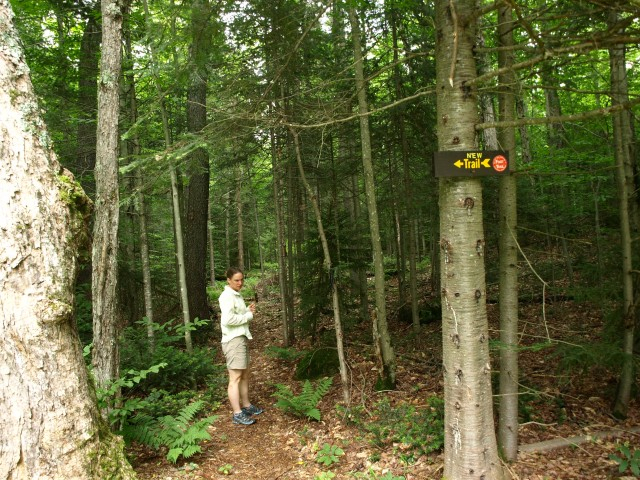
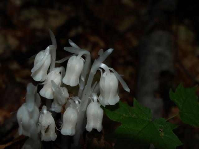
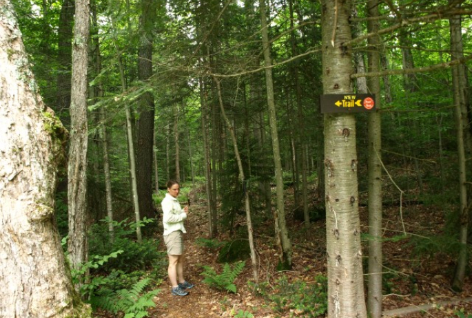
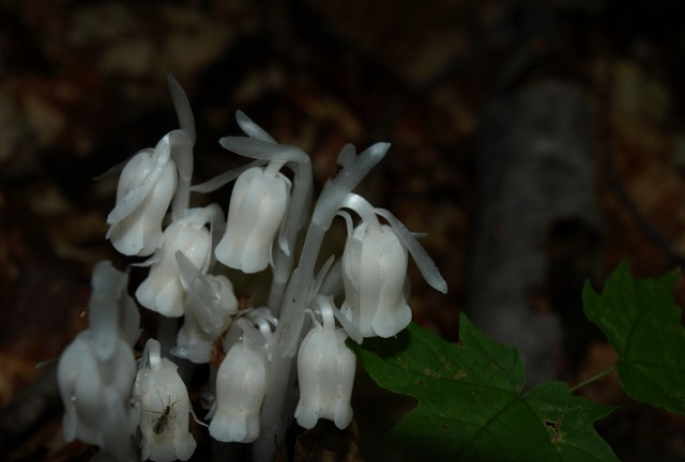
It’s been about two years since I was back there and wanted to show it to Corenne, whose last name just happens to be Black. I drove by the trailhead, as it is still hidden from sight with a small sign that now reads “NEW TRAIL”, but still obstructed by tree branches. We made decent time along the mostly flat trail as it eventually made its way to some decent rolling hills. Aside from the abundance of Indian pipes along the trail the hike was quite uneventful. Finally we reached the steady and moderate descent to the Shore of Black Pond.
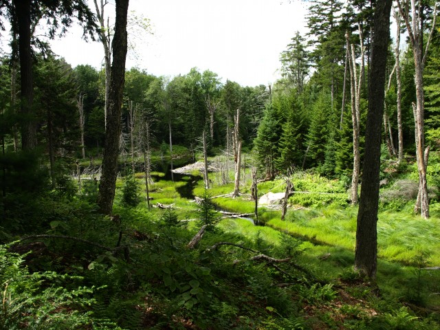
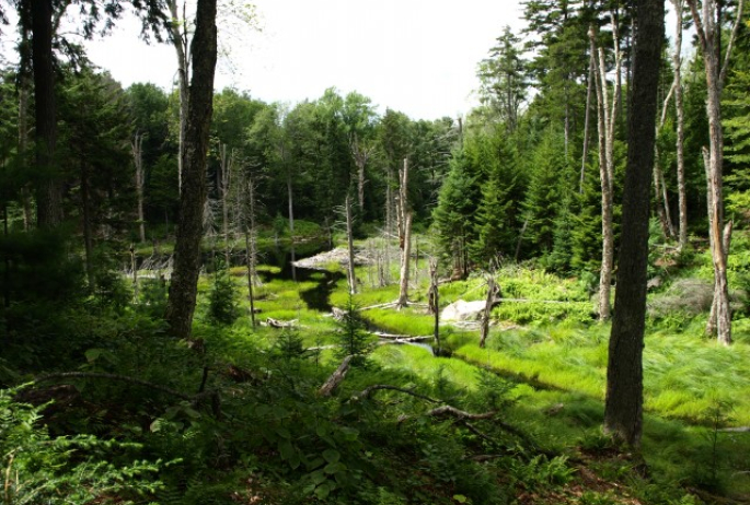
However, to my surprise the red marked trail continued east around the pond - to a campsite on the shore I presumed. The trail, newly marked and cut, had not even brushed out yet fully as of yet. There was still deep duff and ferns covering the trails course. The trail passed above the shore and swung away on occasion for easier passage. It eventually crossed a wet area near a beaver flow and climbed quickly above it on the other side. As the trail kept going and going there were no signs of it stopping, but I assumed again that it would end at a campsite on the east side. Then I got thinking, maybe it would end at Black Bay on Tupper Lake, that destination wasn’t too far away, but without my GPS I was still unsure. My map and compass still had me thinking Black Bay until the trail swept around the NE side at the main outlet of the pond. This outlet leads into Bridge Brook Pond and since the trail crossed the outlet, below a rather sizable beaver dam, it must mean one thing, a trail to Bridge Brook Pond.
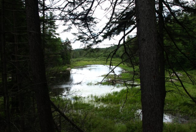
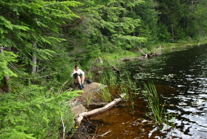
Two freshly prepared logs sit at the outlet for a future bridge and the trail started too moved north through tall ferns. Once back in the woods it was clear we would be at the Shore of Bridge Brook Pond at some point. The anticipation of the trail kept us excited; making a rather moderate hike seem longer. The trail slowly descended through an open forest then dropped a bit steeper to a campsite, not yet fully developed, on and eskar on the south side of Bridge Brook Pond. A camping disk is located on the shore to notify boaters of its location. Bridge Brook Pond if also reached via a carry trail from Tupper Lake.
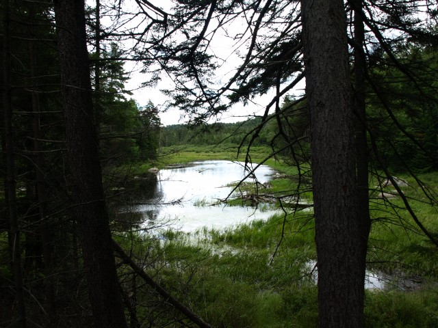
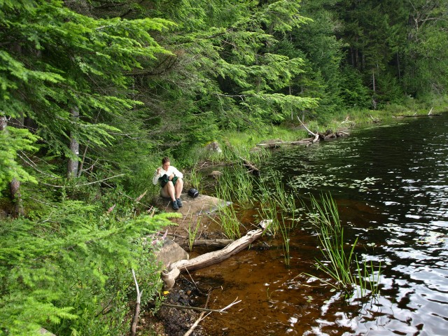
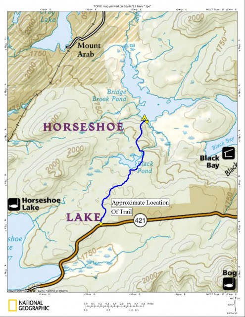
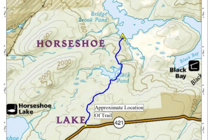
The map below shows an approximate location of the trail, without a GPS track it’s roughly drawn. The route is approximately 2.0-2.5 miles, one way. Interested in visiting the area or maybe taking a boat trip back to Bridge Brook Pond? Seek out a local guide service for details. Need boat rentals for a trip of your own, Saranac Lake has outfitters to help you out.
Packages and Promotions
Valid Jan. 21
- Mar. 31
Valid Jan. 21
- Mar. 31
Titus Mountain Ski Package
Voco Saranac Lake
Enjoy your stay at the award winning voco Saranac Lake which includes two adult lift tickets at Titus Mountain Family Ski Center. Additional...
Valid Feb. 28
- Mar. 10
Valid Jan. 25
- Mar. 7
Prescott House ADK Winter Pride Promo
Prescott House ADK Winter Pride Promo
Valid Jan. 21
- Jan. 21
Valid Jan. 21
- Jan. 21
Stay and Dine
Voco Saranac Lake
Receive a 50 dollar credit per stay to use in our Boathouse Saranac Lake Pub. Enjoy an exceptional dining experience with unparalleled views great...
Valid Dec. 1
- Dec. 1
Valid Dec. 1
- Dec. 1
Linger Longer in Saranac Lake
Best Western Saranac Lake
Linger Longer in Saranac Lake at our supremely located property, Best Western Saranac Lake. Stay 2 nights or more and get 15% off!
Valid Jan. 16
- Mar. 31
Valid Jan. 16
- Mar. 31
Hotel Saranac Ski & Stay Package
Hotel Saranac
Stay & Ski Package Stay at Hotel Saranac and Ski Titus Mountain Day or Night Package Your room reservation includes one adult lift ticket....
Valid Jan. 16
- Mar. 31
Valid Jan. 16
- Mar. 31
Hotel Saranac Sled & Spoke Package
Hotel Saranac
Snowmobile Package Hotel Saranac and Sara-Placid Sled & Spoke have partnered so you and a guest can explore dozens of miles of ADK snowmobile...


