I typically don’t hike alone because I have a very hard time keeping a conversation with myself, and, to be honest, it’s just not that good of a conversation anyhow. Then, I usually get a particular song stuck in my head, and all I keep doing is singing the chorus over and over again because I can’t remember the rest. I know you know what I mean.
With all of that, I still felt the need to get out and play. Even though I was sure snow conditions wouldn’t be all that good, I set my eyes on McKenzie. I am working to update The Other 54, my book on the Adirondack 100 Highest, and I hadn’t been on McKenzie since early in the writing of the second edition. With the third edition due in 2017, I figured I would do another sweep of the trails. I used the Jackrabbit Trail to go up and the Shore Owners Association Trails (SOA) to come back down. Since the rerouting of the SOA trail, I hadn’t spent much time over there. The start is at Blodgett Road, which is also off of Whiteface Inn Lane, so it just made sense to plan a route that would loop me back through the area.
Once I arrived at the trailhead for the Jackrabbit Trail, I pulled on my microspikes, strapped my snowshoes to my pack, and got rolling right away. I signed in at the trail register and started the moderate climb toward the McKenzie Mountain trail.
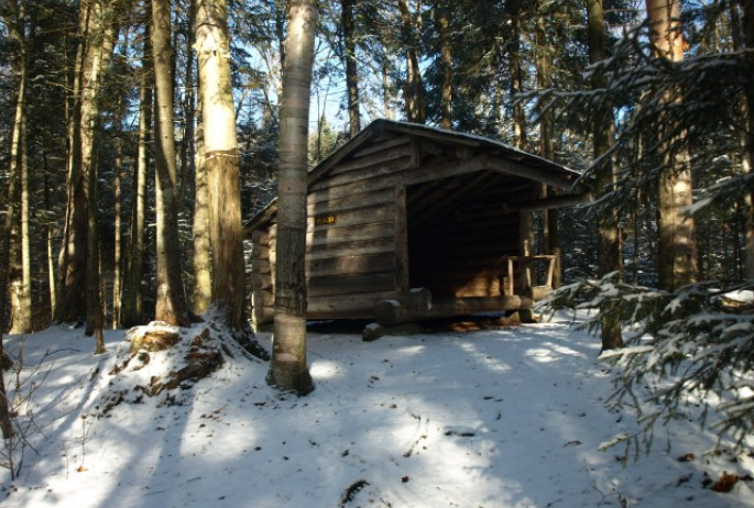
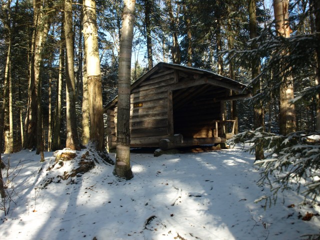
On the Jackrabbit Trail, I hopped back and forth over the waterfall ice that conveniently covered a good portion of the trail. Passing by Colburn and Tamarack mountains on my right, I almost chose to do them instead, but stuck to the course of action that I planned. I left a note telling the missus where I was going. If I didn’t go there and got hurt, that would just lengthen the time to when I was found. It wasn’t long before I reached the Placid lean-to, where I took a break and had some water and breakfast.
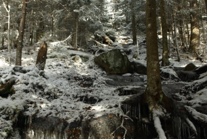
Now at the four-way intersection with the McKenzie Mountain trail, I knew it would get a bit more serious. I hung that sharp right onto the McKenzie Mountain trail and started my climb. This first section of trail was very icy but the ice was starting to become unstable, and I broke through a few times into about 6 inches of water. The recent warm weather and rain weren’t making this adventure any more satisfying. This section of flowage probably didn’t last as long as it felt, but without a doubt my hurdling and leaping abilities improved this day. Once the water ended, the steep terrain started. No rest for the wicked, as it was right from one obstacle to the next.
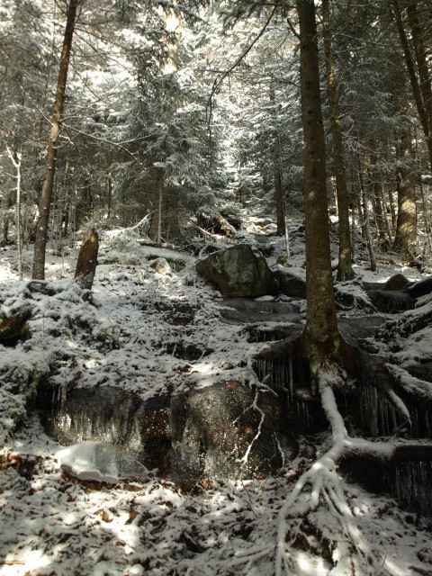
I was baffled by the steepness of the terrain in certain areas — it was much steeper than I recalled from just a few years back. Then, at about 2,500 feet in elevation, the ice started to appear and out came my cautious side.
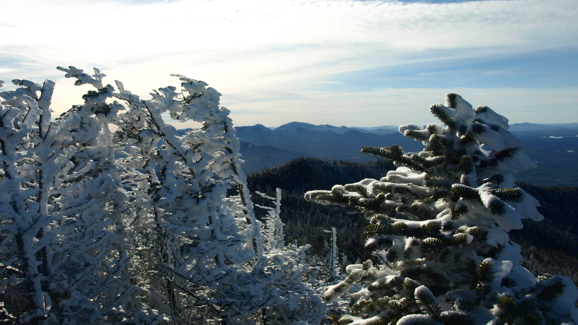
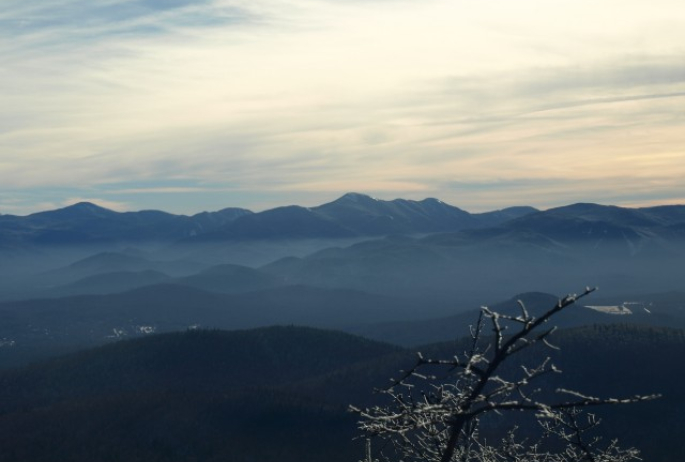
I find myself being much more reserved when I am alone. Not that a second person would stop a fall or be able to carry me out; it’s just a mental thing. As the terrain remained steep, I continued to make smart footing choices. The views began to get better as I ascended higher and higher in elevation. I enjoyed every opportunity to burn up a break or two taking pictures.
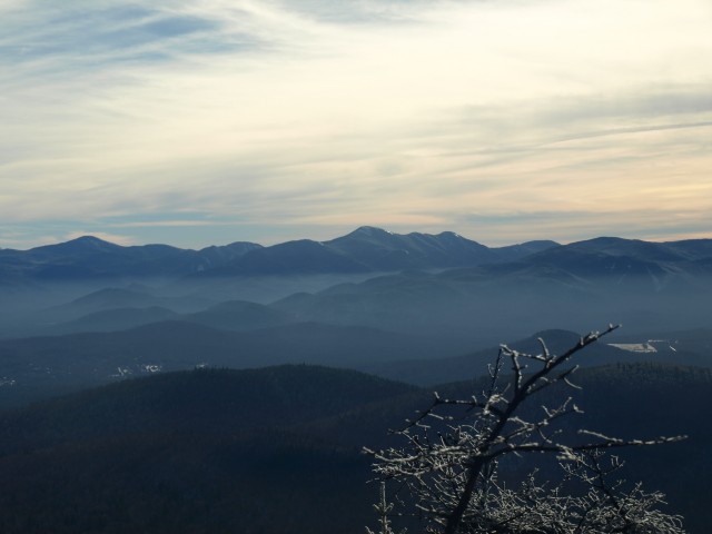
I eventually made it to the first of the many small summits along the upper ridge. The first four along the ridge aren’t very big, and there's thankfully very little elevation change between them, but each one offers something for the eyes. The final drop along the saddled ridge was much more significant. The final climb didn’t seem too bad, and then I stood on the true summit of McKenzie Mountain. The open ledges on each side of the trail offer amazing views. It's a place for lunch, I would say.
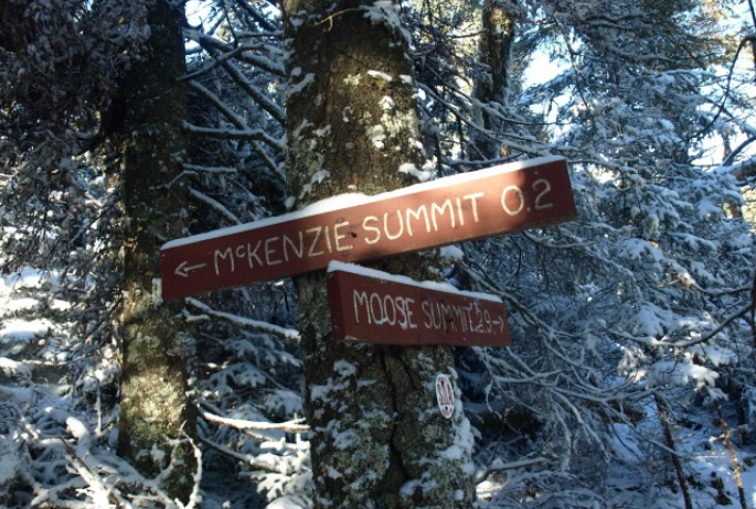
Once my peanut butter, banana, and bacon sandwich was relocated, I proceeded over the summit and dropped off of the backside onto the SOA Trails. The state trails stop at the summit of McKenzie but the SOA Trail continues. These trails were developed by a private organization, and their upkeep was great over the years, but as of late I had heard they were starting to falter. I shall see.
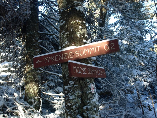
This very steep descent was strewn with waterfall ice that made me take baby steps. The biggest issue with microspikes I have found is you have to walk flat footed on each step, or you may go for tumble.
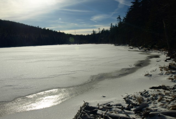
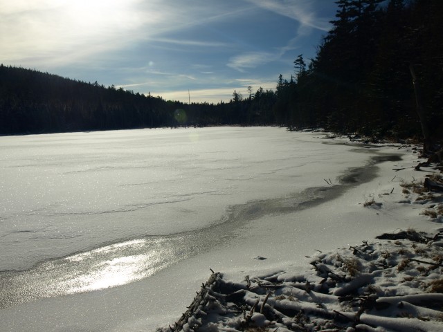
After the initial quarter-mile drop, I was at the intersection for Moose Mountain, which headed to the left. Not today. I needed to go right and continue the relentless descent down to Bartlett Pond. Seemingly so, the water was being shed off of both sides of the mountain from the warm days' snowmelt and rains. I was again in what seemed to be a small intermittent stream of sorts that masqueraded itself as a hiking trail. This trail was so delightful in many other ways, though, as I have found all of the SOA trails to be. As I watched almost every step forward and down, I eventually looked up, and all of a sudden there was a fully frozen Bartlett Pond. After snapping a couple of pictures I was off and on the opposite shore. I continued my wanderings on the much more moderate descent to the lake trail.
The trail was now covered in a light coating of freshly fallen branches and stems, possibly from one of the recent wind storms that so often rolls through the area. The trail was still easy to follow though, so it didn’t stop my fast descent, which only got slowed once by a band of blowdown. After a couple of minutes spent walking around the trees, I stumbled upon the trail. The beauty of this trail is it follows Two Brooks nearly all of the way back to Lake Placid — the lake, not the village. Once I was on the lake trail it was very smooth sailing. I kicked it into fourth gear and started dreaming about a hot cup of coffee and gluten free goodies in town.
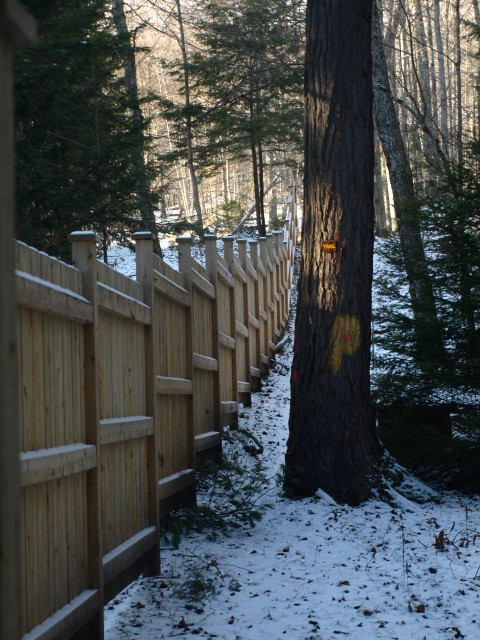
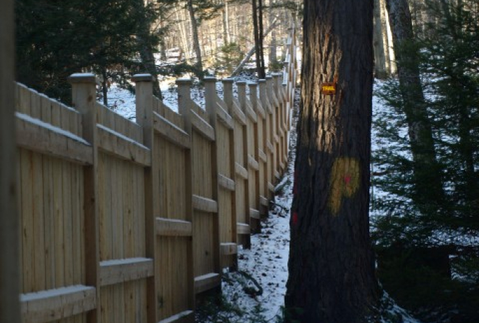
Once I was at the reroute, it was obvious. A large, rough-cut wood fence was built to help block access to the nearby homes. Signs also warn of private property. The reroute followed the edge of the fence before moving me into the woods on a very fresh footpath. The trail is well-marked and follows the course of Blodgett Road. Eventually the trail ended on Blodgett Road, where I had to follow it for a bit back to Whiteface Inn Lane, mere feet from my car. The day was still young; I had pushed out this loop in only 4.5 hours. Not bad for an old man.
Check out out hiking page for more hiking suggestions, and don't forget to head into town after your adventure for some food or music!
