5 Overlooked Destinations for Hiking, Paddling, and/or Trail Running
1. Floodwood Mountain
Getting There
From the intersection of Route 86 and Route 3 follow Route 86 toward Paul Smiths. Continue for 5.0 miles to Route 186 on the left. Follow Route 186 to its end where it turns into Route 30 (approx. 4-miles). Follow Route 30 west for 5.75 miles to Floodwood Road on the right – this is easy to drive by. Follow Floodwood Road for 6.25 miles and watch for signs for Floodwood Mountain. There will be a turnoff on the left near the end.
Hiking There
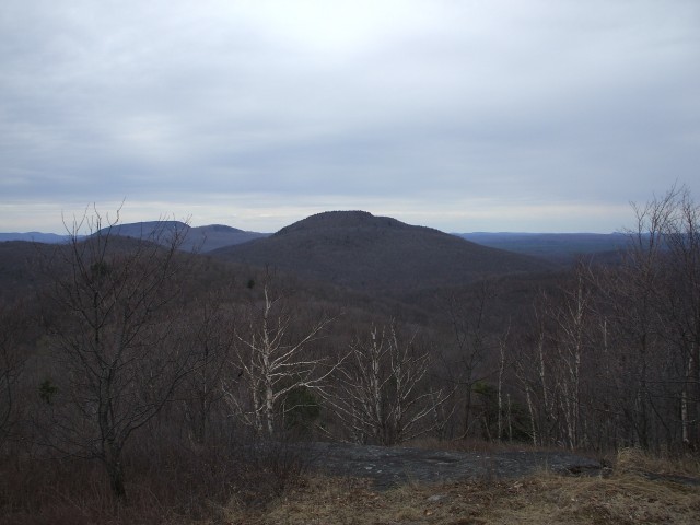
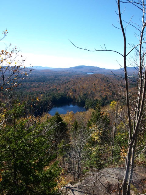
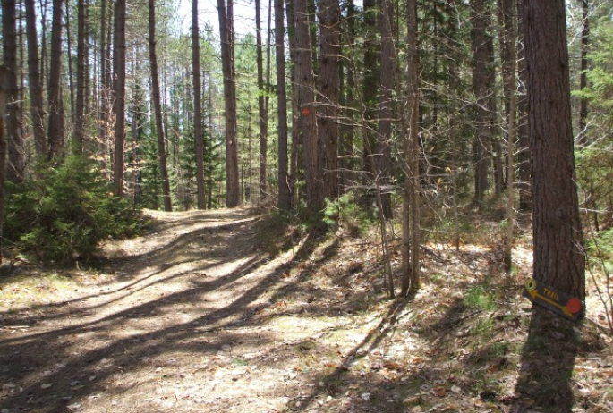
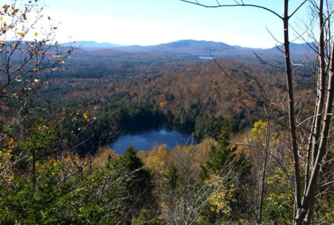
Floodwood Mountain is just over 4-miles as a round-trip is a perfect smaller peak for the entire family. Starting along a dirt road near a very scenic wetland area you have a great opportunity for birding. Once off the dirt road, which is relatively quick, you will have a moderate hike through an attractive mixed forest. Gaining about 675’ from trailhead you won’t have to work very hard to enjoy a great payoff. A sign on a tree clues you in to a southern summit, whose views are much more rewarding. There is a short steep descent over slab rock to a small rock scramble that gets you to the summit. Open views reward you with a relaxing space with views of the areas mountainous layout.
2. Moose Pond
Getting There
From the intersection of Routes 3 and 86 in Saranac Lake follow Route 3 north toward Bloomingdale. Keep on Route 3 into Bloomingdale. After you cross Sumner Brook take a right onto River Road. Follow here for 1.75 miles to Moose Pond Road and follow it to the end at the state boat launch site.
Paddling There
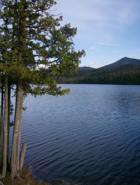
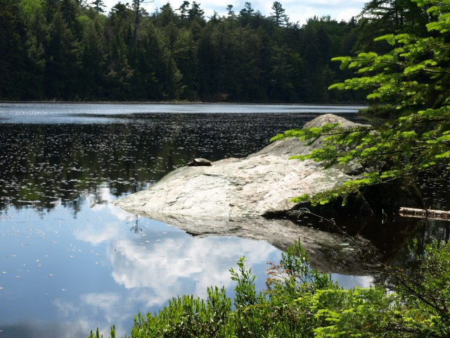
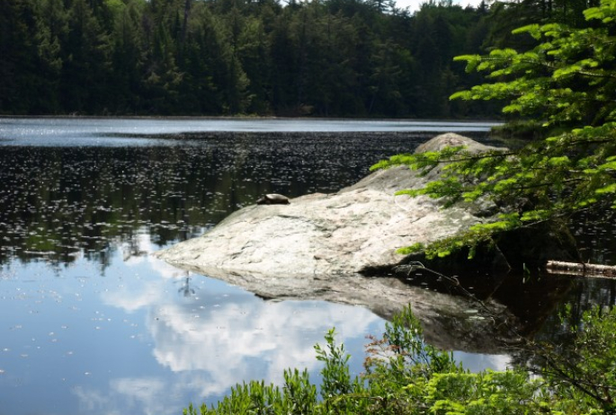
Moose Pond has a state boat launch with no need for any portaging. Located off a back road of a back road you will have the total feel of being secluded. While small motors are allowed on the pond it is much less likely than many other destinations in the area. This pond is well sheltered and shadowed by the McKenzie and Moose Mountain. A small rock outcropping on the western shore makes for a great area to have a secluded picnic. A foot trail from this rock leads back to Route 3.
3. The Kettle Trail
Getting There
From the intersection of Route 3 and 86 in Saranac Lake follow Route 86 toward Paul Smiths. Continue for 12.5 miles to Route 30, take a right onto Route 30 and go for 3.75 miles to Slush Pond Road on the left, this is a seasonal use, dirt road. Follow Slush Pond Road for 0.6 miles or so to the unsigned trailhead on the right. There is room for one car on both sides of the road.
Hiking and Trail Running There
As you start your tour over the Kettle Trail you will be along a very soft and scenic trail. Nat far into the hike you will start to see many rolling hills introduced. The Kettle Trail was named for its numerous kettle ponds and bogs that rest near the trail. While many have dried up and look more like a grass fields the scenery is still magnificent. Eventually the trail comes to a rather large grassy meadow; this is an excellent spot to turn around. The trail eventually leads out to McColloms Road. Beyond the grassy field you will be on a dirt road where the beauty is much more limited. It is an estimated distance of around 3-miles to the grassy field.
4. Panther Mountain
Getting There
From the intersection of Route 3 and Route 86 in Saranac Lake follow Route 3 toward Tupper Lake. Continue for around 14-miles to the trailhead on the right. Parking will be on the left in a small parking lot.
Hiking There
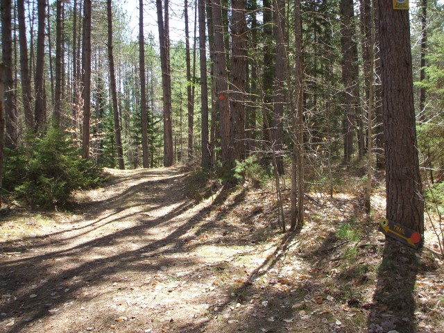
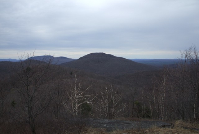
The summit of Panther Mountain looms over Route 3 with a rocky scar on its cheek, but to hike it, it’s a bit further, 0.6 mile one way, to be more exact. This trail while very steep is an excellent destination for the entire family; its short distance helps with that. You will initially be hiking through a very attract stand of tall pines, the trail almost red from the fallen needles of these giants. From the summit area the Seward Range is standing tall in the back, while the waters of Panther Pond glisten below.
5. Middle Pond
Getting There
From the intersection of Route 3 and Route 86 in Saranac Lake follow Route 86 toward Paul Smiths. Continue for 5-miles to Route 186 on the left. Follow Route 186 for 4.0 miles to its end at Route 30. Follow Route 30 toward Tupper Lake for around 5.6 miles to Floodwood Road on the right. Follow Floodwood Road for 2.3 miles to the pond on the left.
Paddling There
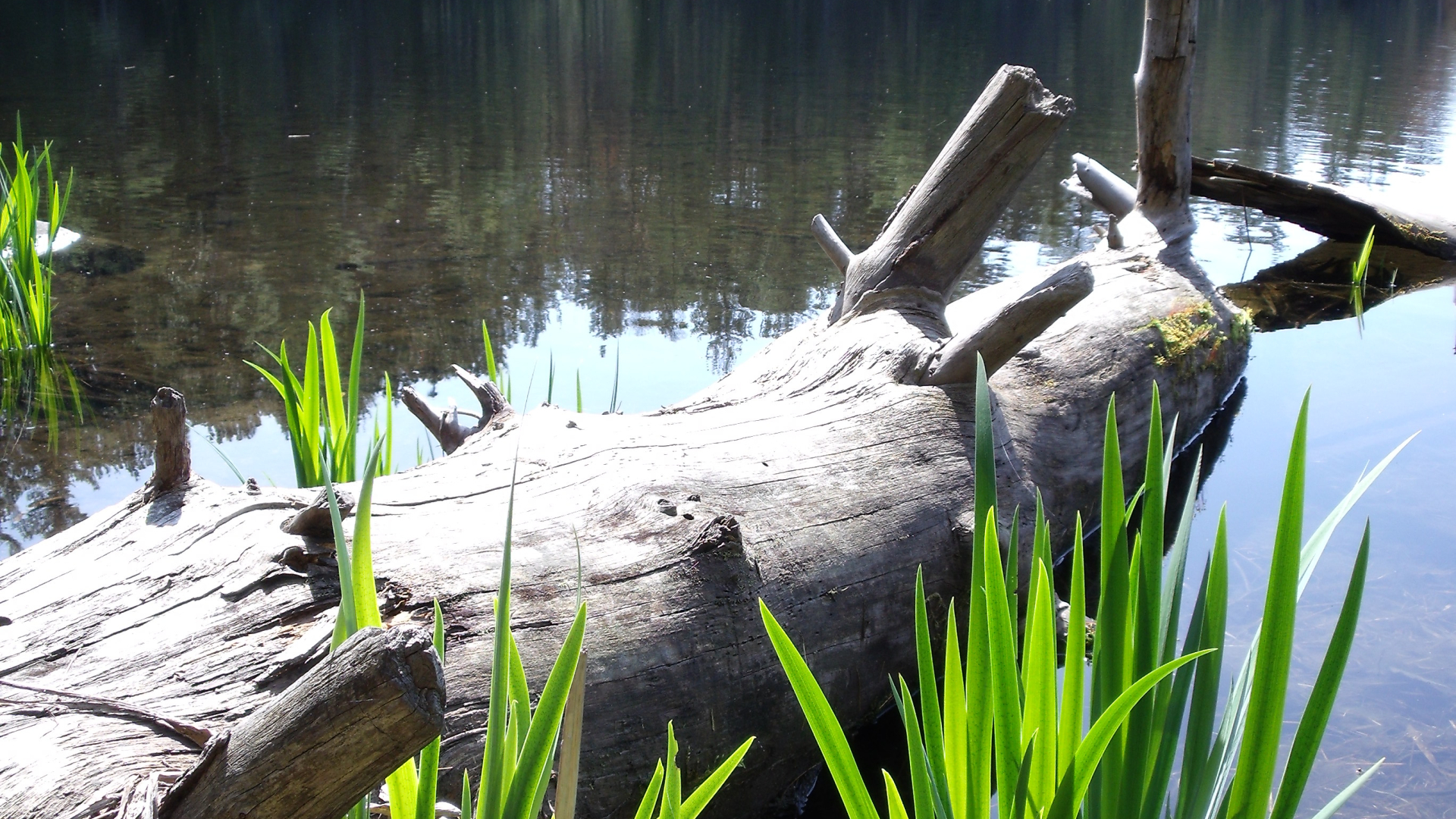
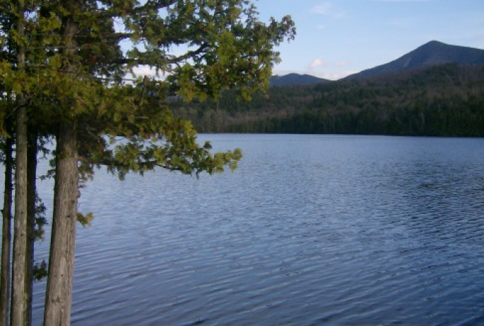
Middle Pond is much longer than it is wide and is often overlooked as a paddling destination. While it rests right along the Floodwood Road and can almost be seen in its entirety from the road it has excellent potential. There are many ample spots to launch your boat, whether it is from either end or in the middle it’s your choice. Middle Pond is an excellent birding a wildlife viewing destination without the fear of motorboats or crowded shores.
Saranac Lake has many opportunities for outdoor activities whether hiking, paddling, fishing, trail running, swimming, the list goes on, stop into a local book shop for a guide to the Saranac Lake Region.
