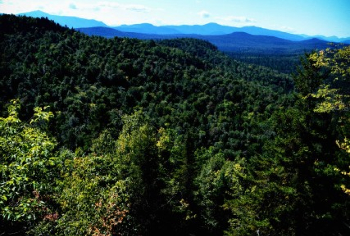
Short and sweet is this roadside gem. Not existing on many people’s radar, New Road Mountain shadows Route 3 just north of Vermontville and is located in a corner of the Taylor Pond Wild Forest. The Taylor Pond Wild Forest is a rather large expanse of forest preserve and also referred to as the Taylor Pond Management Complex.
According to the NYSDEC website, “The Taylor Pond Management Complex is spread over a 567 square mile area in the northeastern Adirondack Park, and consists of 26 separate parcels of state land totaling 53,280 acres. Of this, 45,637 acres are Forest Preserve, 6,314 acres are State Forest and 1,329 acres are Wildlife Management Area. All of these state lands are classified as Wild Forest by the Adirondack Park State Land Master Plan (APSLMP). Additionally, there is several conservation easements included in the unit because of their contiguity with the state lands in the area.”
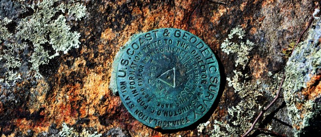
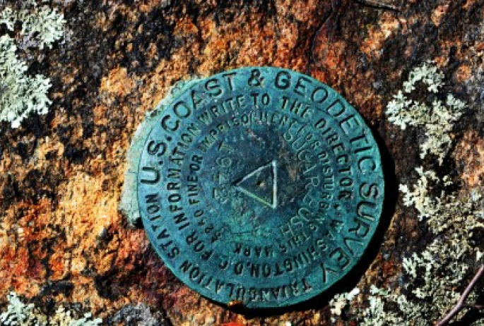
As far as the name origin of “New Road” is concerned it’s unclear from the bit of research I have done. However there is a benchmark on the summit stamped as “Sugarbush, 1942.” This makes perfect sense, since the nearest small hamlet is Sugarbush, just a bit further north.
Part of the roadway along Route 3 at the base of the peak is still private land so it was imperative that I locate the state land boundary just south of the mountain before I started my adventure. This was easier than I had anticipated it would be, and the boundary was well marked. The terrain started out rather easy but immediately on an uphill course, and within a short amount of time I was well within the state land border.
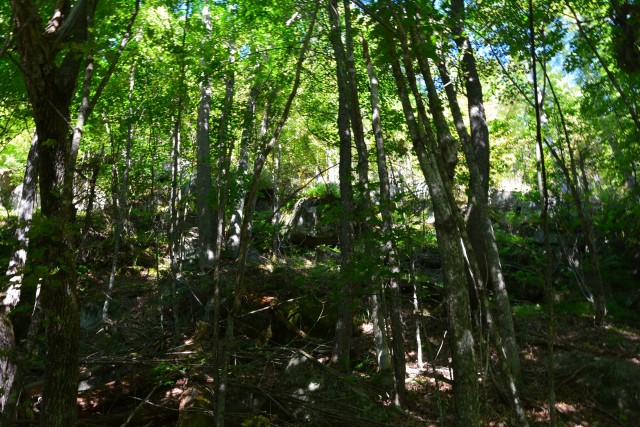
My four-legged hiking partner is fresh from the couch after a batch of lyme disease benched her from most long hikes, as well as a bum knee from a previous injury on Spruce Lake Mountain in Indian Lake during the previous late spring. This was not her first hike in the recent weeks, however the steep terrain was weighing on her as was the battle with the unseasonably humid weather we were experiencing.
At about a tenth-mile in, we started to traverse the base of the steeper portions and on a couple of occasions got dead-ended at the base of the cliffs that make up the steep south side.
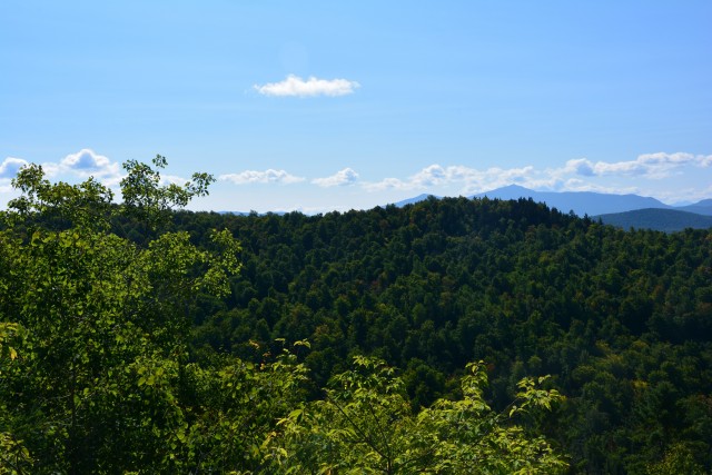
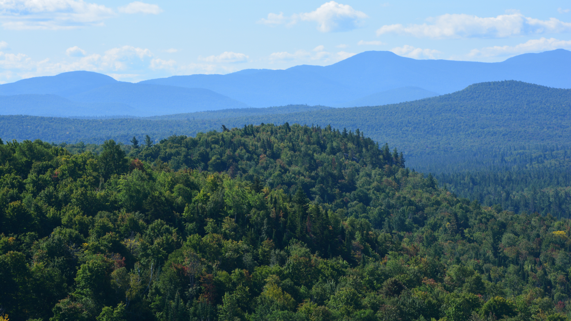
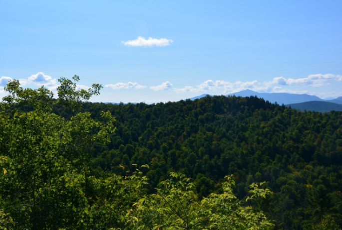
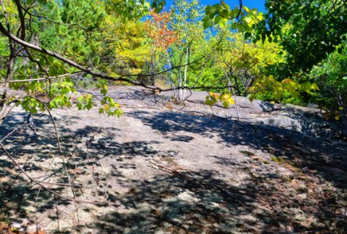
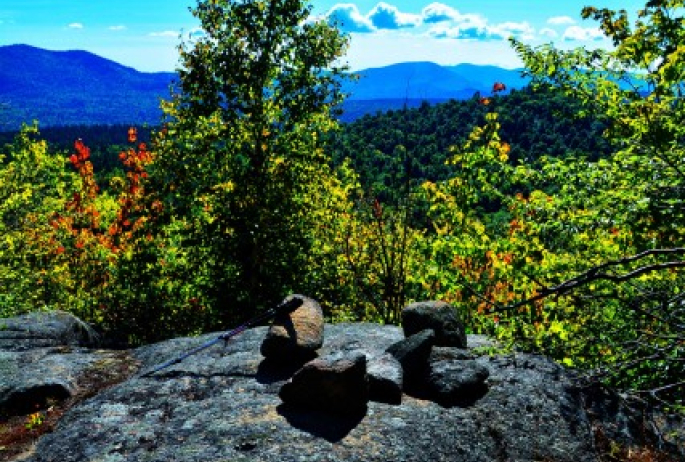
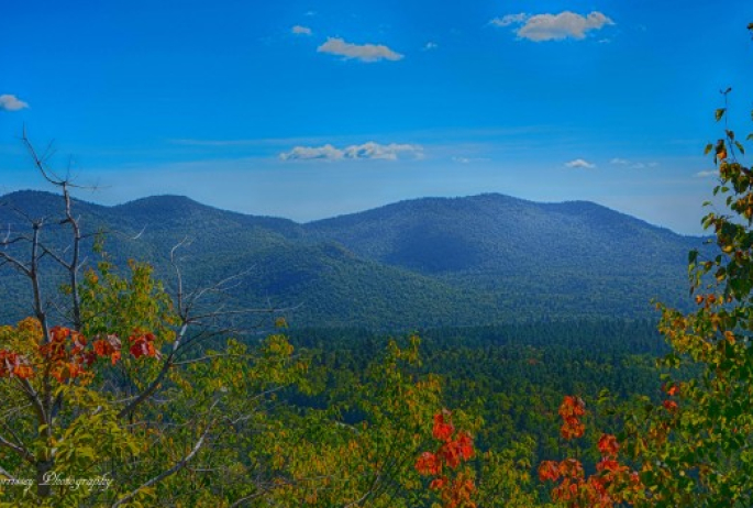
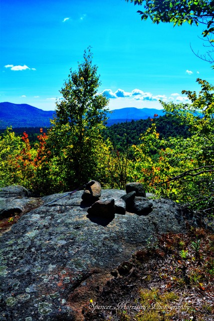
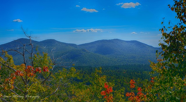
The cliffs, while still not overly tall in size, expanded around the mountain. Eventually they gave way to a small cleft that allowed us to scramble up them. Beyond here we found ourselves at the base of a long slab of bare rock, sticky with structure, we easily scrambled right up to our first view of the day. In the distance Whiteface and Esther hogged the skyline but in the immediate foreground was Gleason and Noranale Mountains with the Alder Brook Mountains looking massive a bit further to the east.
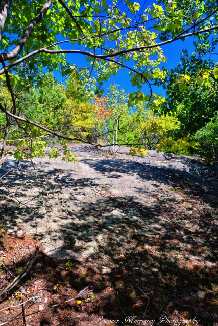
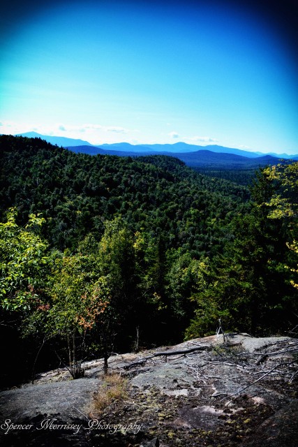
The summit is only slightly higher than this and atop this rocky summit we located the “Sugarbush” benchmark near a toppled rock cairn. The views lengthened a bit further to the east and west, south was still overpowered by the immense peak of Whiteface Mountain.
It was now time to get back to the car and try to avoid the cliffs that according to the map, also impeded our planned route. This was a chore completed - but not to an exact science, but then again, wouldn’t that just be boring? Abby and I were blocked twice by tall cliffs, but this time atop them in a much more precarious situation. From here they were too tall too attempt a safe descent. We reclimbed a section of the mountain on two such occasions, filtering either right or left and eventually we popped back out onto Route 3, pretty close to the car. Closing out the day we took the scenic ride home through Silver Lake and Franklin Falls, back to Bloomingdale and right to Blue Line Brewery for an afternoon libation.
No matter the season, there are so many cool hikes to tackle in the Saranac Lake Region, the hardest question is deciding which trail to choose!
