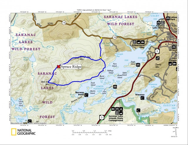
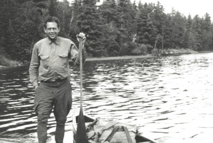
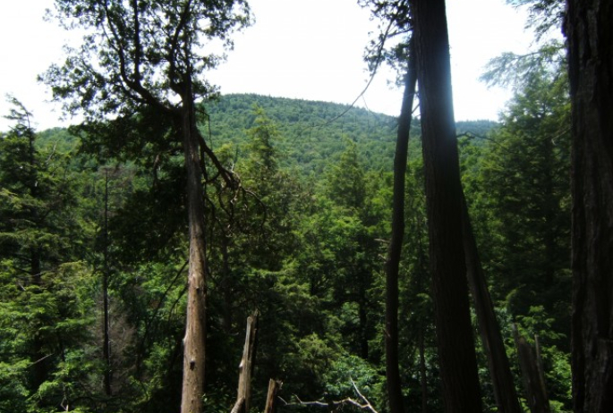
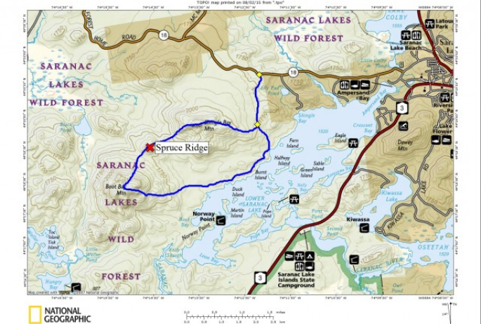
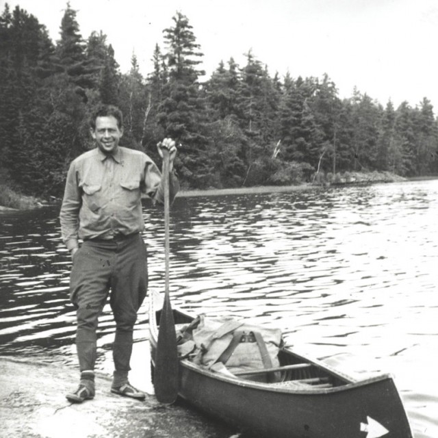
My interest for these three mountains was conceived one winter’s day when I was reading a book about Bob Marshall. Well, come to find out his family had a place on the Saranacs and one of his frequent stomping grounds was Boot Bay Mountain. So, I figured why not head out and grab the other two along the way: Spruce Ridge and Shingle Bay Mountain.
Finding the path
I knew where I wanted to get rolling on this hike and it would make for the perfect approach to reach the base of this skyline of peaks. There is a route off Forest Home Road in Saranac Lake and a few years back I found a path that led from this road to Lower Saranac Lake, which is right where I needed to be. I located the path once again and started swiftly following the route over muck and mire, and occasional dead fall. The sharp sounds of “peeeeweeeee-peeeweee” from the peewee bird filled the forest around me and a second course of “teacher-teacher-teacher” from the oven bird chimed in on occasion.
A place to revisit - by boat
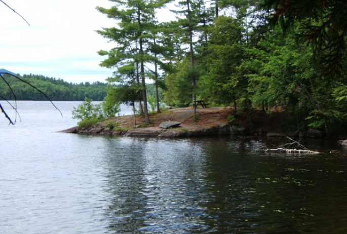
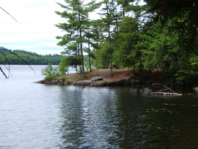
In no time I was at the shore of Lower Saranac Lake - of course in mind it seemed to take a long time - it must have been that anticipation of starting a climb. Hanging out at the camp ruins on the lake, I snapped a few photos of the amazing day and started to follow the path along the shore that led from campsite to campsite. I stayed on this path until I reached Boot Bay, which was an easy and scenic walk through the wild forest. I was amazed by the camping opportunities here, and the small sand beaches that dotted the shore, I might have to come back here by boat. These camps are part of the Saranac Lake Islands State Campground where reservations are required and most are typically only reached by boat.
It was now time to start my bushwhack, so to speak. The forest here seemed to be deprived of deadfall and any sort of non-living wooden structure aside from the outhouses. The campers made quick work of any valuable campfire wood within a couple hundred feet or more of the shoreline; it was easy walking. Quickly out of the gate I noticed a very deep depression or a valley on the SE side of the mountain. That would be my initial approach, if for nothing else than to get me rolling in the right direction, kind of a handrail into the wilderness if you may. I was super excited about what I might find - scenic lookouts just the beginning of what I was envisioning.
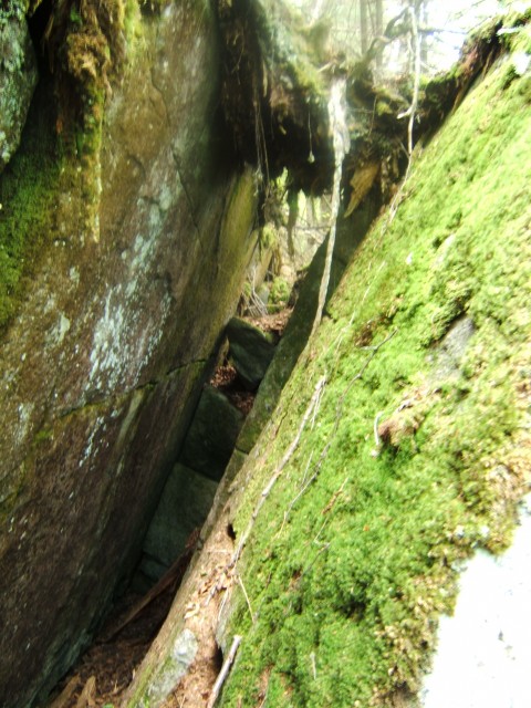
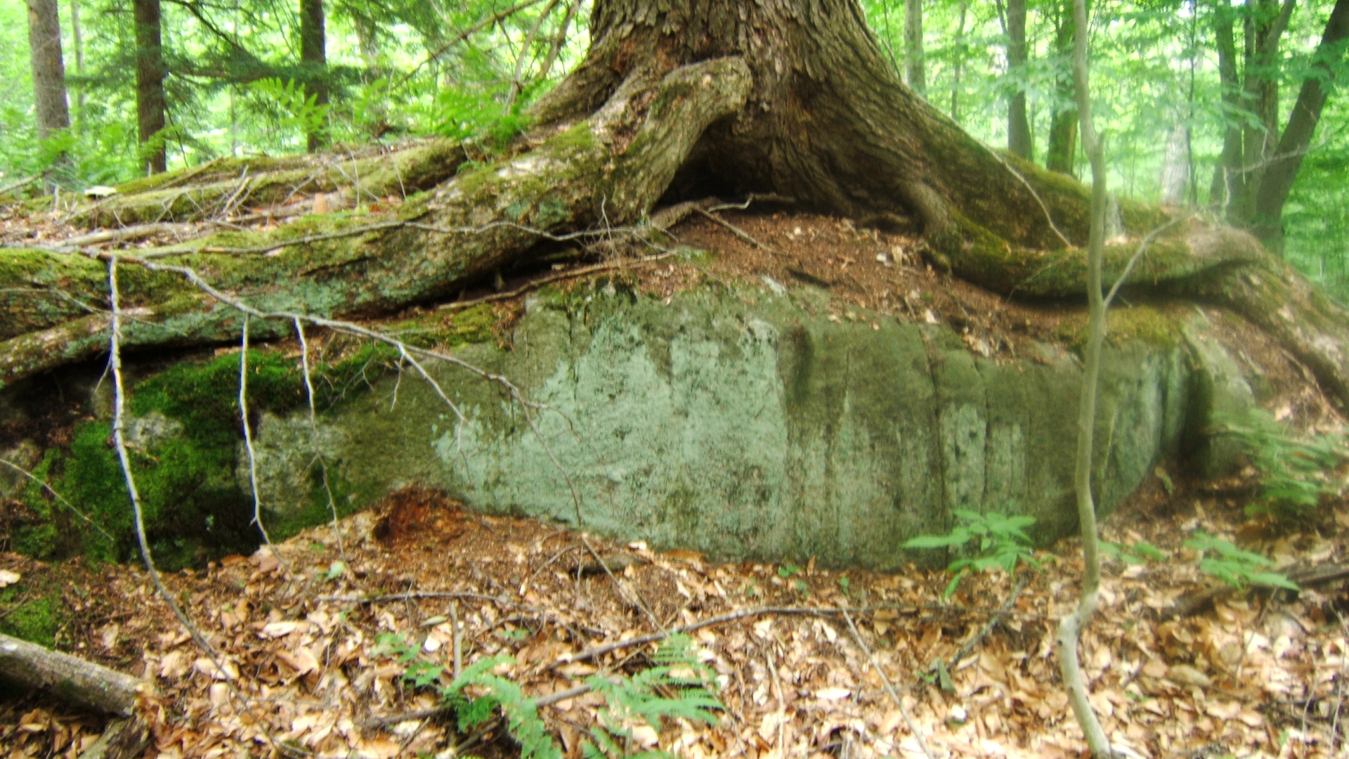
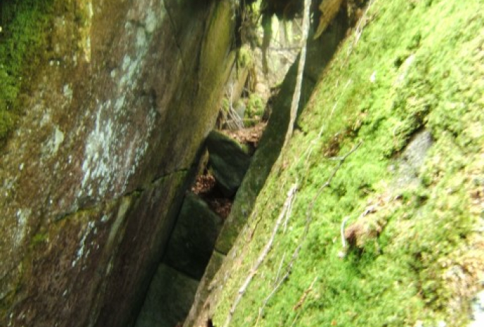
Pushing on through the deep draw I encountered a bit of wet settled water, and as I climbed much more deadfall than I wanted to work my way through, so I moved slightly uphill to help with ease of passage and reduce the fatigue of fighting. As I climbed I managed to hit some pretty serious steep terrain which seemed to be more like shelves on the mountain than persistent slopes. One particular area of aggressive slopes was a jumble of rocks leaned up against one another creating narrow passages and small shelter like caves, a bit of exploring was involved, it was a delightful 10 degrees cooler in some of the openings.
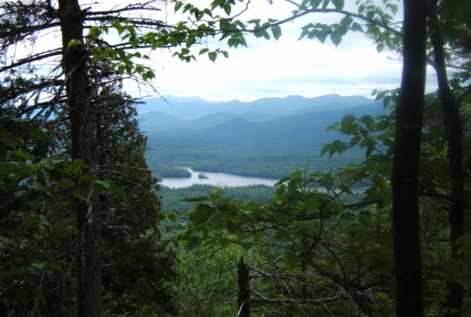
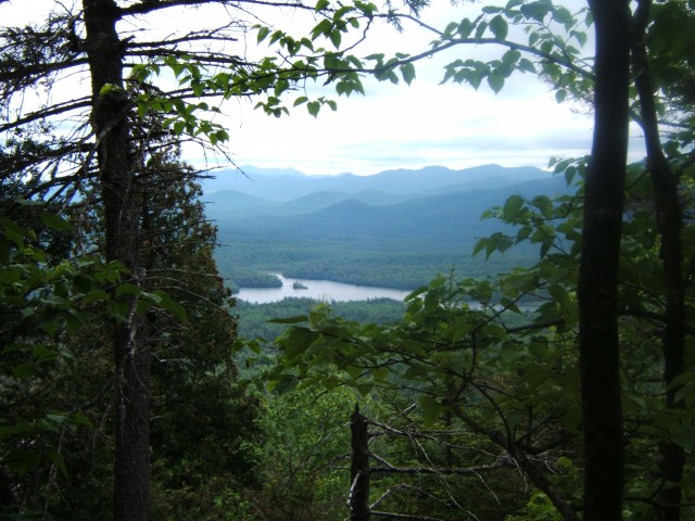
The summit came quickly after, heavily wooded with newer growth, giving me the perception that this mountain at one time possibly had decent views, maybe ones worthy of the Marshalls to frequent - but for me there was nothing but a balsam and spruce thicket. I explored, determined to find something of a view, maybe just a peek out over the lake and it took me continuing on toward Spruce Ridge to find it. A small peek through a window outlined by a weaving of branches, but a clear view none the less, and I could see for miles. The Seward Range easily picked out with additional High Peaks behind them, it was actually pretty fabulous. But as much as I enjoyed the presentation, I need to move forward toward Spruce Ridge.
What's in a name?
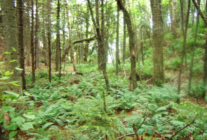
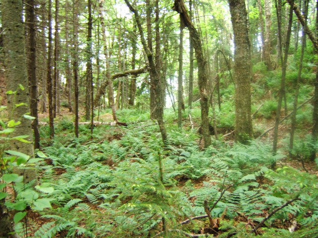
It was a hair under a mile to the summit of Spruce Ridge - in a straight line - which doesn’t really exist in all actuality of bushwhacking terms. I figured I would make a go for it and try to come in at about a mile and a quarter. The descent was thick, scratchy, and not all that pleasant if I must be honest. The slopes gradual, and then a fern laden shelf was under me, a gorgeous green field that I was sure wouldn’t last. I would now climb Spruce Ridge in hopes that whoever named this lied about its coverage. When in the name the word “Spruce” exists, it’s most always not a popular sign for luxury of travel.
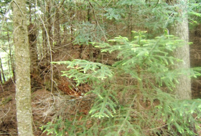
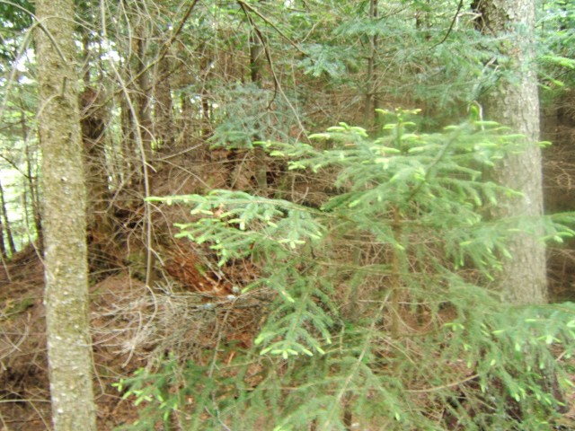
The climb, just under 250 feet of elevation gain, was actually pretty easy, but the summit crown was laced in just what I expected. The scratchiest of spruces is red and I may have found myself praying on the way up as the trees started to grow tighter to one another: “give me black spruce, give me balsam, but please don’t let it be red.” It was red spruce, slow-growing, strong to the touch and like heavy grit sandpaper against the skin. Not only was the bark rough to the touch, but the dead branches seemed to become stronger in the afterlife, the bark even more unforgiving, and the needles were pointed and poised as tiny daggers against my already reddened forearms. I regret now, even in the humidity and heat, not wearing long sleeves.
My reward was a 10 x 10 opening on the summit, wide enough to remove my pack and energize for my next leg to reach Shingle Bay Mountain. At just over a mile away I assumed the forest would be similar to what I had experienced to date; but at 300 feet higher I was sure that if there were spruce that it would be red, and that there would possibly be more of it.
The hardest part was getting off Spruce Ridge - the spruce didn’t want to give up. I didn’t have to descend too much though, and then the thick forest was no more; a veil of sorts was drawn and again I stood amongst the ferns. I could see Shingle Bay Mountain ahead of me, much clearer now that the forest had opened up, and it didn’t look too threatening to my well-being. I first had to walk a land bridge between the two peaks and up over a small knoll, nearly going unnoticed in my excitement of reaching the base of my final peak of the day.
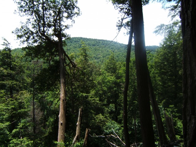
The path of least resistance
This climb was a pleasant stroll for the most part, and that truly means something after what the other two summits offered up on a woody platter. I enjoyed narrow and wide bands of open forest lined in tall sedges, ferns, and an occasional small patch of soft brambles. Minimal dead fall impeded me. Minimal red spruce slapped me, and up to this moment I didn’t realize: minimal deer flies harassing me. Even though I stood atop a third wooded summit with no views on this journey, I was ok with that, it was open enough for me to sit and relax and look back on the journey, and look forward on the journey I had yet ahead of me. As I sat atop a toppled red spruce I contemplated my next move and decided to go right for the herdpath that I followed in - rather than head back down to the lake to cool off. The day was yet young, but I was whooped and all I wanted to see was the path.
I followed a shallow northeast ridge, which wasn’t all that easy to remain upon. Its superficial build just got me going in the right direction before I was fed out into the flatlands. I refer to the flatlands as the low country of this 2300 foot peak. The flat forest would give me no bearing as to direction and seemingly wanted to move me in an old river meandering motion down the mountain, but I fought the urge to go right and battled my mind to push left, closer to the parking lot. Eventually I felt as though I was walking parallel to the trail, but yet not quite upon it, and then it was there, like it had been nearby all along teasing me at just an arm's length away. No matter, I was home free and the cool breeze of the car would reward me a wind shower, and Donnelly’s would reward me a chocolate twist.
