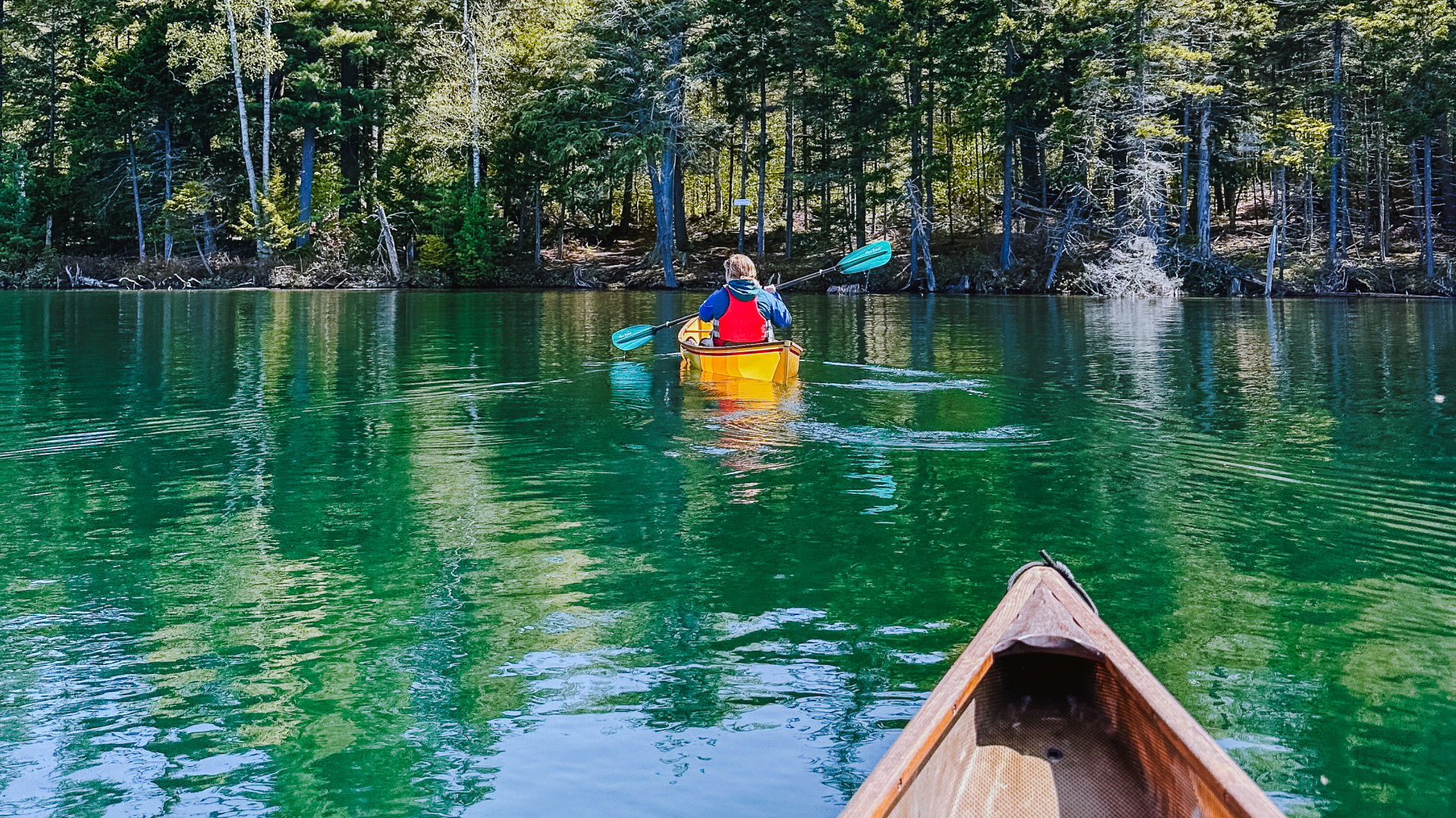
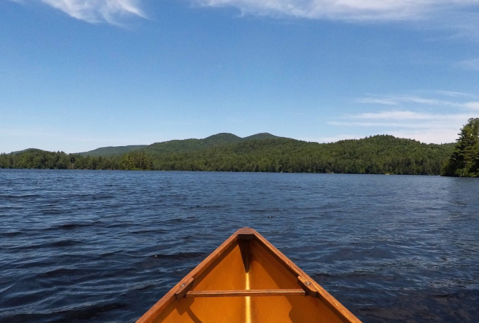
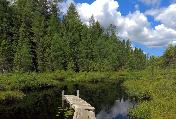
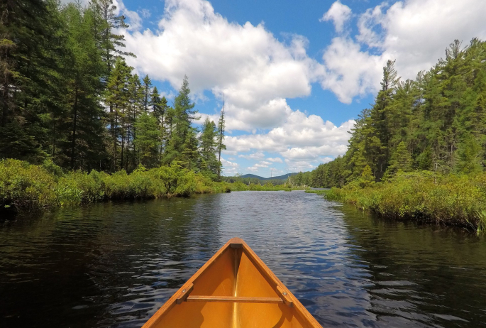
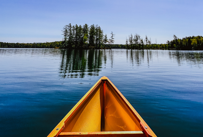
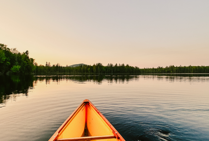
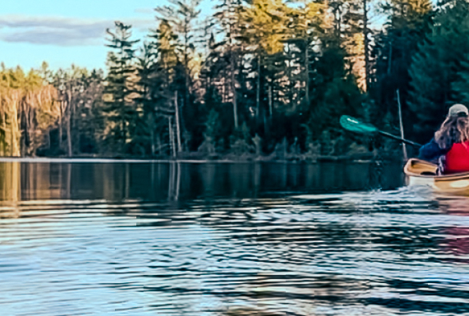
Saranac Lake, New York is many things. It’s a quirky community. It’s a basecamp for many outdoor adventures. It’s a place to lay down some roots. It’s a vacation destination. It’s storied. It’s home to some of the best wilderness canoeing and kayaking routes east of the Rockies.
Wait, what?
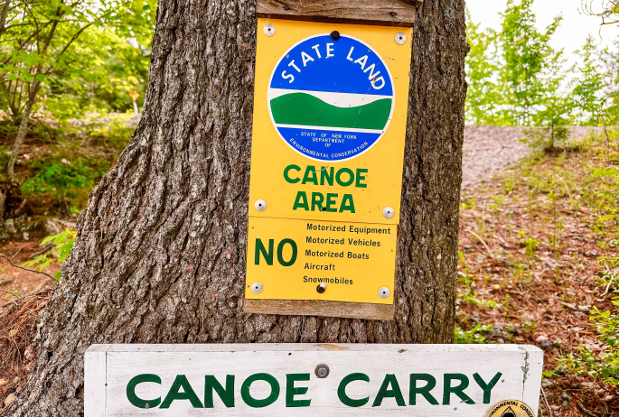
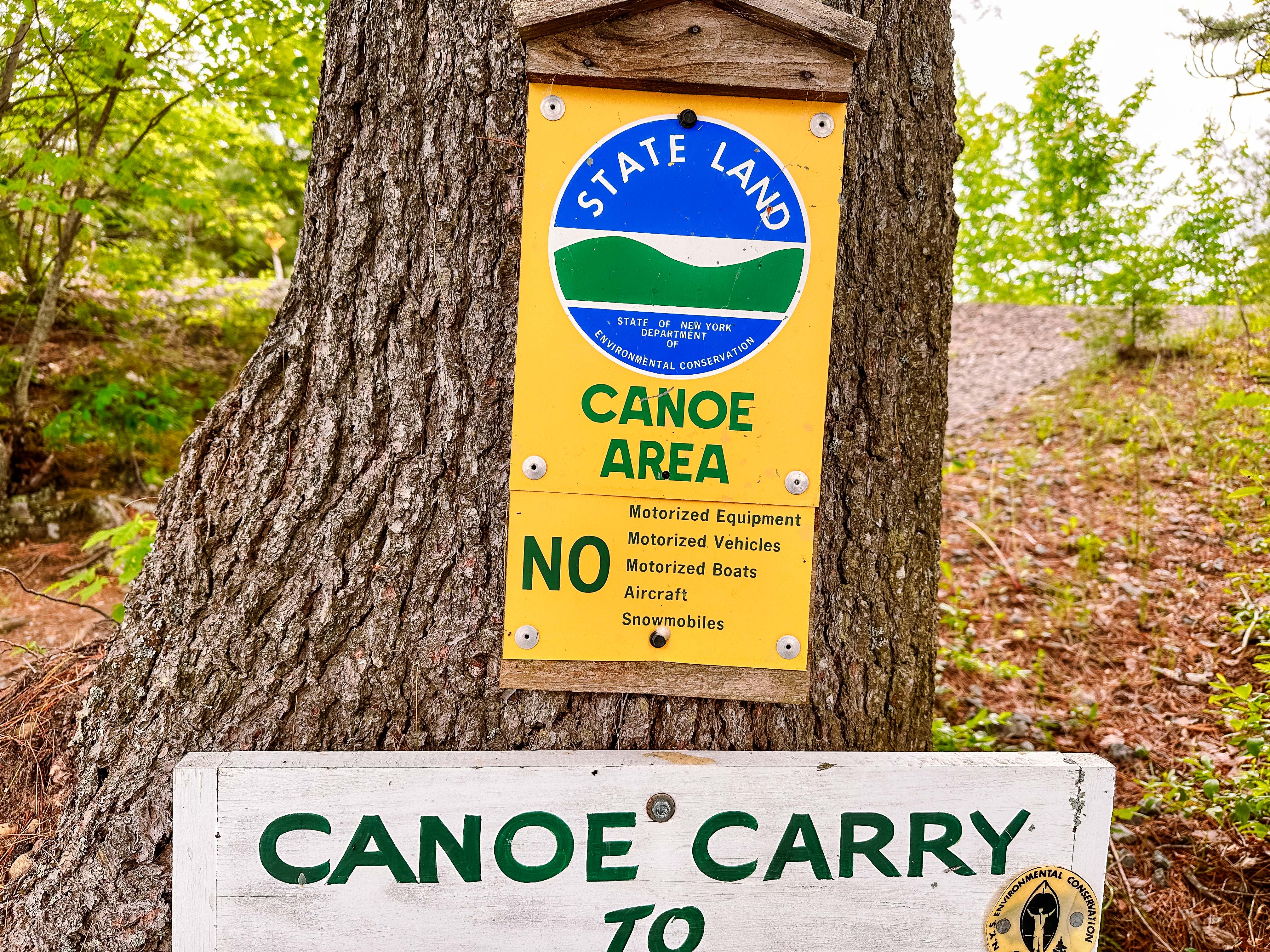
That’s right. At 18,400 acres, the St. Regis Canoe Area is the only designated Canoe Area (essentially a wilderness area with lots of water and with no motorized recreation) in New York State. The Boundary Waters Canoe Wilderness (over 1,000,000 acres) in Minnesota is the closest comparison. If you’re looking for solitude, wilderness, and canoeing in the northeast, your spot is in the St. Regis Canoe Area.
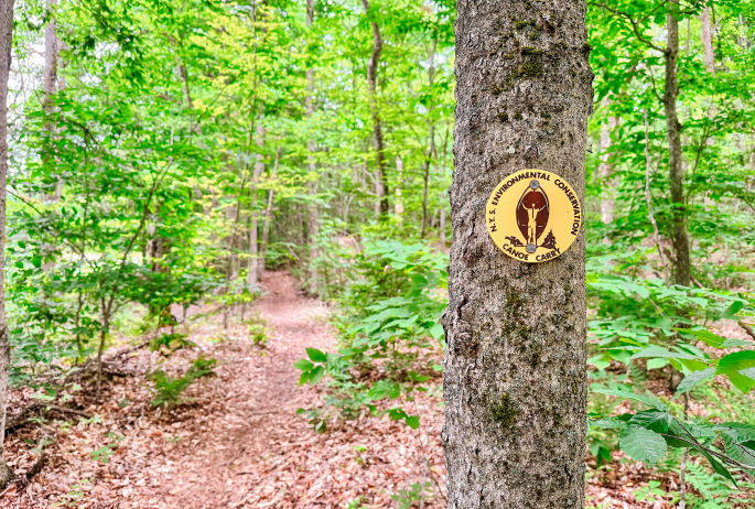
The story of this wild place is deep and rich. For decades, people have been paddling historic routes, crisscrossing the chain of waterways in various patterns. Perhaps the most famous route is the Seven Carries, a trip that originally went from Saranac Inn to Paul Smith’s Hotel via a series of small ponds, bigger lakes, and portages. A portage is when you must carry your canoe or kayak from one body of water to another; they are hiking trails you hike with a canoe on your shoulder. The Seven Carries is an exciting backcountry trip, but at only 9 miles, it’s possible to do it in a day. For those looking for a longer experience, on a wild route, deeper into the Canoe Area, the Nine Carries is another famous canoe route that has been paddled since the 1800s.
What is the Nine Carries Route?
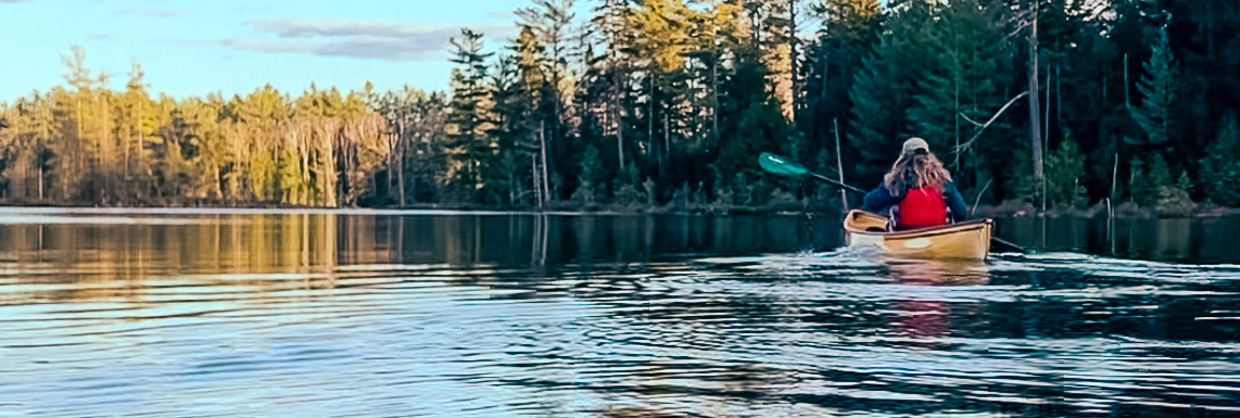
The Nine Carries is not for the faint of heart or inexperienced paddlers. The portages are sometimes rugged, often muddy, and mostly longer than others in the area, with poor footing at times. But don’t let that scare you away! It’s all flat water (no rapids!) and with a lightweight boat, the portages don’t seem as grueling. With proper preparation this route is unforgettable and a truly unique wilderness experience.
Route description
So what does the Nine Carries route look like? Here are the numbers:
- There are 9 different portages (it’s possible to spend more time on your feet than on your butt in the Canoe Area!)
- The longest portage is 1.6 miles
- The total mileage for this trip is 13-18 miles, depending on how direct you paddle
- Skill level: intermediate to advanced paddling, and the portages are considered strenuous
- Most people do this route as an overnight (or two or three). Very experienced paddlers can complete it in one day, but why rush through the wilderness, right?
- Wheels are not recommended and will likely be troublesome on many of the portages since there are rocks, roots, and ruts to contend with. Lightweight, pack boats are the preference.
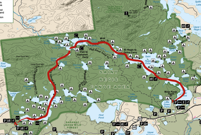
What ponds are included, and what is the general course? Well, here is that information, too! (Don’t worry, we’ll break it down further):
- Parking lot → Long Pond → Nellie Pond → Kit Fox Pond → Little Long Pond (west) → Fish Pond → Mud Pond → Ochre Pond → St. Regis Pond → Little Clear Pond
There is no set way to start and finish this route. For simplicity, we’re going to describe the route that gets the longest portage done almost immediately, but you can go in either direction. Also important to note: this is a one-way description. It will require two vehicles or a shuttle service.
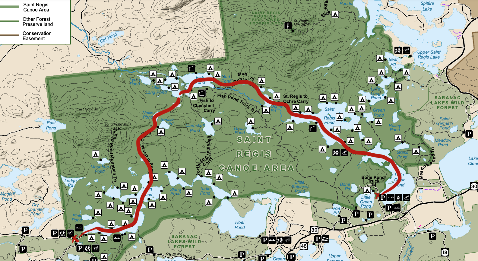
Parking at the Long Pond lot off Floodwood Road, it’s 0.33 miles along a well-defined portage path to the edge of Long Pond. The launch site into Long Pond is not rocky and generally easy to access. Campsites galore await on Long Pond if you want to make your Nine Carries trip a few days long. From the launch, paddling across to the northernmost point on Long Pond, you’ll find the portage to Nellie Pond.
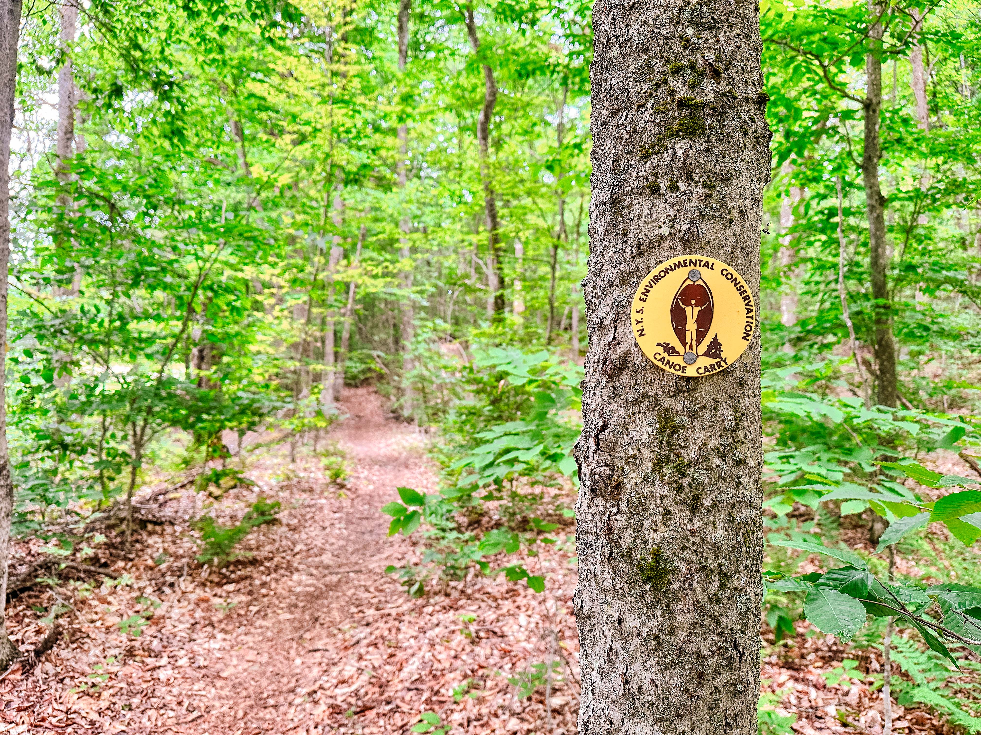
Getting to Nellie Pond is probably the most challenging part of this route. In total, the portage from Long Pond is 1.6 miles, but 0.3 miles into the path, a section of trail has been flooded by beavers so you’ll need to paddle across the beaver swamp. Don’t worry, the Department of Environmental Conservation placed markers to guide you through this area of flooded forest. The roughly 1.4 miles of trail between Long and Nellie is some of the most rugged of the trip. Be prepared for poor footing and potentially deep mud puddles. That said, you will be traveling through a narrow ravine at the base of Long Pond Mountain, which makes you feel like you are roughing it in the wilderness. Shortly before reaching Nellie Pond, the trail splits - take the left to Nellie Pond and the right if you want to check out Bessie Pond (even though it’s not officially part of this entire canoe route). Although it can be quickly traversed, Nellie Pond is lovely and quiet.
From Nellie Pond, it’s a short, straight-forward 0.25-mile portage to Kit Fox Pond. Nothing really to write home about, but it does go over a small bump. It may be tiresome to carry heavy boats up and over a hill. The launch into Kit Fox Pond is a descent with no obstacles. The pond itself is about as quiet and serene as Nellie Pond, and will likely be traversed in the same amount of time.
Leaving Kit Fox, Little Long Pond is next. There are two Little Long Ponds in the St. Regis Canoe Area, so this one is often referred to as Little Long Pond West, or locally it’s known as “Big Fox Pond.” The portage is only 0.2 miles and a little easier walking than the previous one. Little Long Pond West is bigger than Nellie Pond and Kit Fox Pond, but to get to the next portage, it’s just a short paddle.
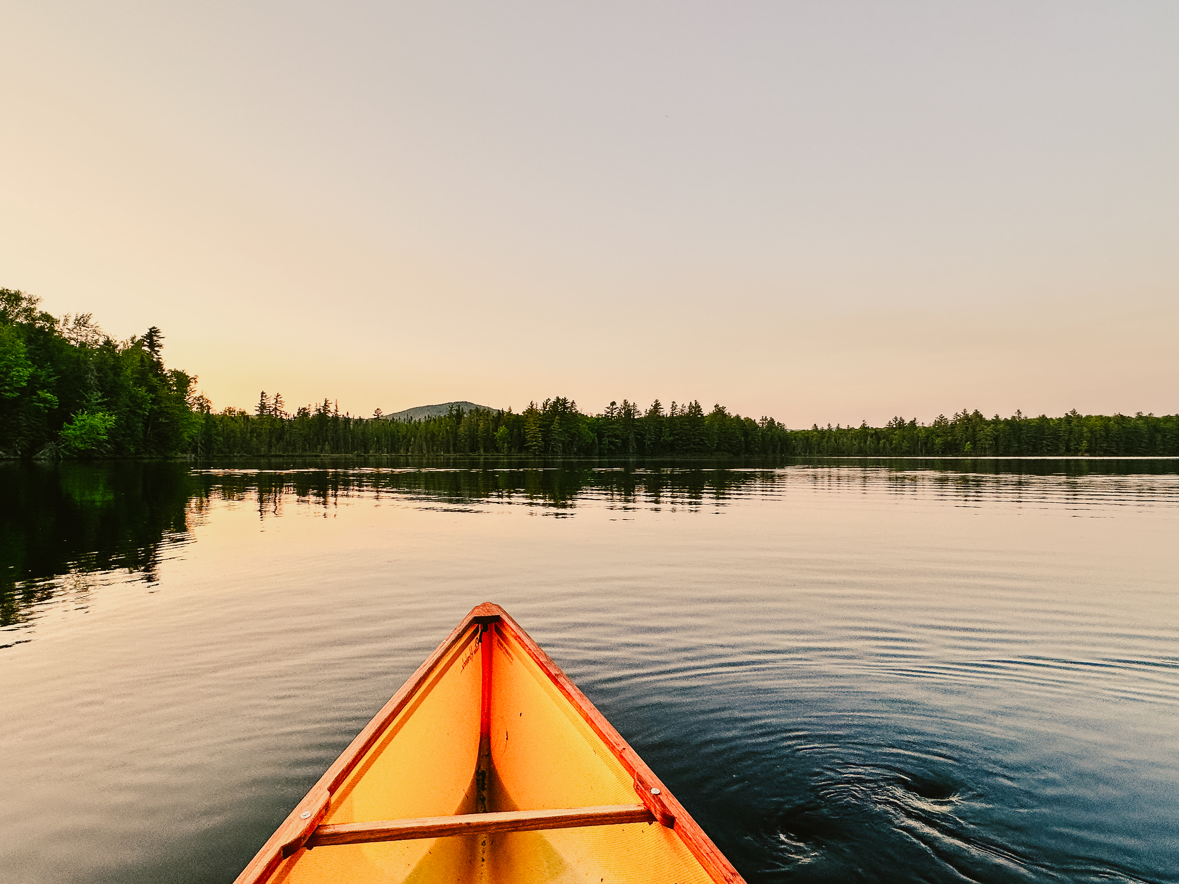
Little Long Pond has a short portage to Fish Pond (0.2 miles). Many thru-paddlers spend a night or two here at a primitive campsite. Two lean-tos on Fish Pond are first come, first serve, as well as a few tent sites. The pond here is much bigger than anything paddled so far and is among the remotest in the Canoe Area. It offers great opportunities for solitude and fishing!
From Fish Pond, there are options. You can either bypass a pond and go straight to another, or break up the portage with a short paddle through Mud Pond. Paddling through Mud Pond you get to visit one more pond in the Canoe Area, so that is always a good thing! Fish Pond to Mud Pond is straightforward, albeit muddy at times. It’s only 0.2 miles long. The Esker Trail (1.2 miles) that bypasses Mud Pond goes straight to Ochre Pond. Mud Pond is short but sweet (and not as disgusting as the name suggests). The trail to Ochre Pond from Mud Pond is 1.0 miles long, BUT it’s one of the coolest trails in the area. It follows the spine of an esker, so you are walking up in the trees, seemingly above it all. You’re surrounded by old, towering pines. Ochre Pond is accessed via a bog bridge and the whole setting feels very remote and peaceful. (Insider tip: the campsite on Ochre’s northeastern shore is amazing and has good sunsets.)
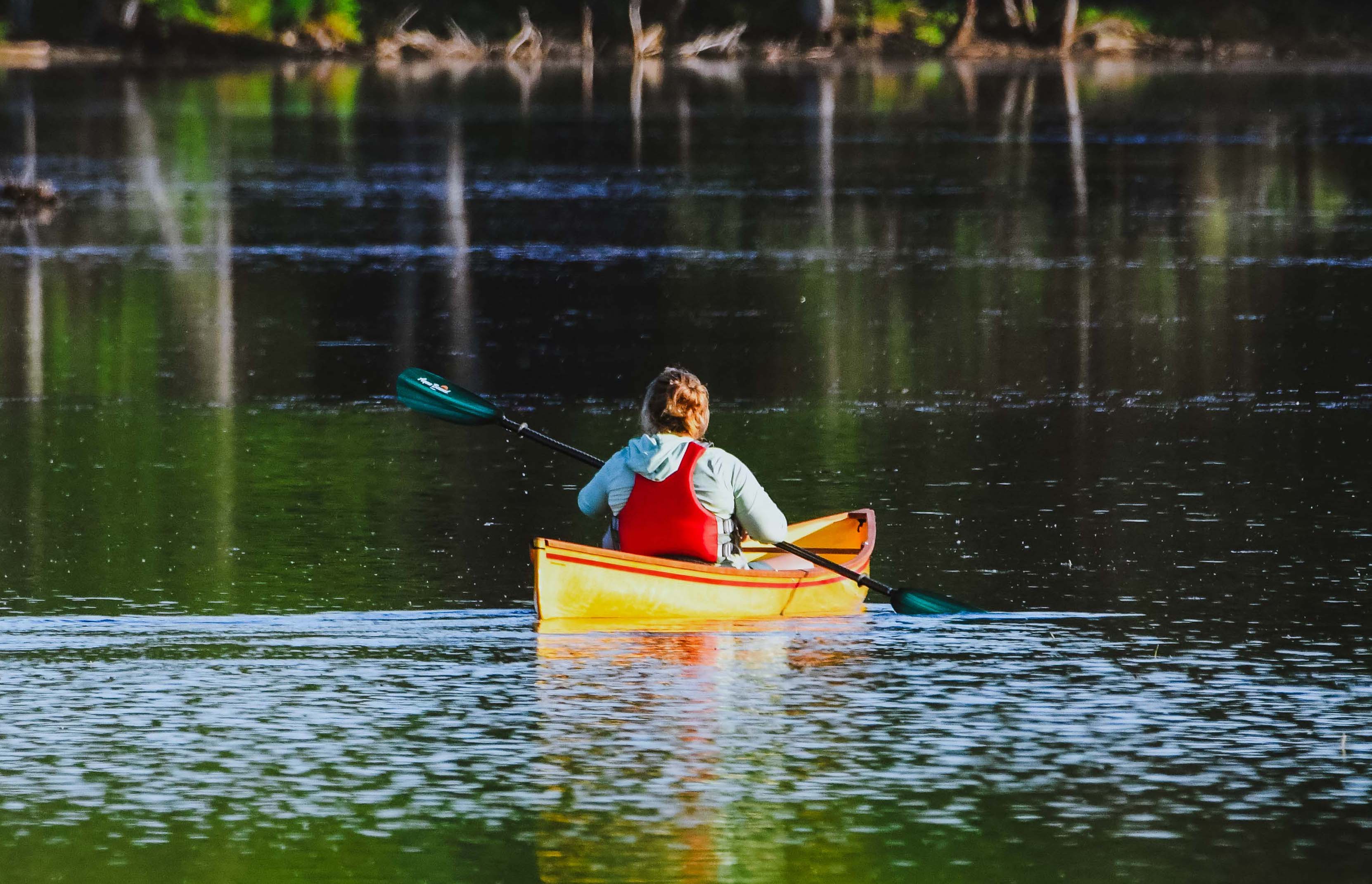
After Ochre Pond, St. Regis Pond, the namesake of the Canoe Area, is next. It’s the largest body of water in the Canoe Area and has plenty of campsites (and one lean-to). The portage from Ochre is 0.7 miles. It’s relatively easy-going and has some interesting ferns along the side of the trail. It's easy to get distracted by the cool flora! There aren’t really enough good things to say about St. Regis Pond. Since it is so much larger than others, the scenery opens up around you. There are excellent views of the fire tower on St. Regis Mountain (noticing a theme?) once you're out in the middle. Even from the end of the carry trail from Ochre Pond, the view is excellent, featuring McKenzie, Moose, and Whiteface mountains! Wind might be more of a factor on this larger body of water, so stick closer to shore if you're concerned. Perhaps the highlight of St. Regis Pond is the opportunity to island camp! Yes, one of the primitive campsites is located on an island that you could have all to yourself (but again, it's first come, first serve.)
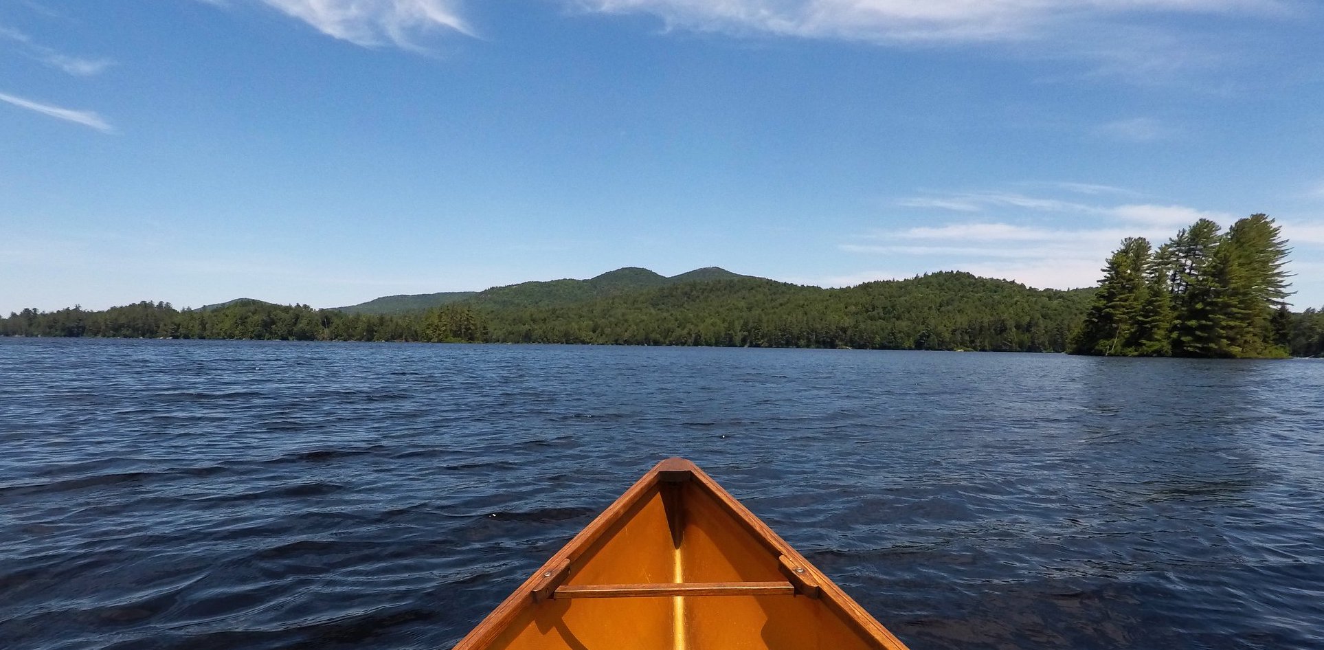
The trip is almost over now; one more portage to go! You’ll exit St. Regis Pond along a long bog bridge. It’s 0.6 miles to Little Clear Pond from here, with a few ups and downs along the way, but nothing super challenging. Once on Little Clear Pond, you are out of the official Canoe Area boundary. Little Clear is used by the nearby state-run fish hatchery, so there is no fishing, camping, or motorboats. However, its beauty is unparalleled and Common Loons are often seen here, enjoying the absence of people fishing.
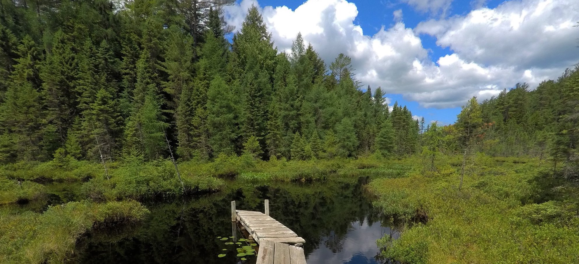
The launch on Little Clear Pond is where your trip ends. If you’ve spotted a second vehicle, the parking lot is just up a small hill. If you need a shuttle service, reach out to St. Regis Canoe Outfitters in advance to arrange a pick-up from their guide service.
A paddling paradise
The St. Regis Canoe Area is home to many, many ponds. The opportunities for exploration are numerous! Paddling the Nine Carries is just one option. It’s highly recommended you talk to the friendly folks at St. Regis Canoe Outfitters, Adirondack Lakes & Trails, or Mac’s Canoe Livery & Outfitters to get some local guide knowledge before you set off! They can also help with boat rentals.
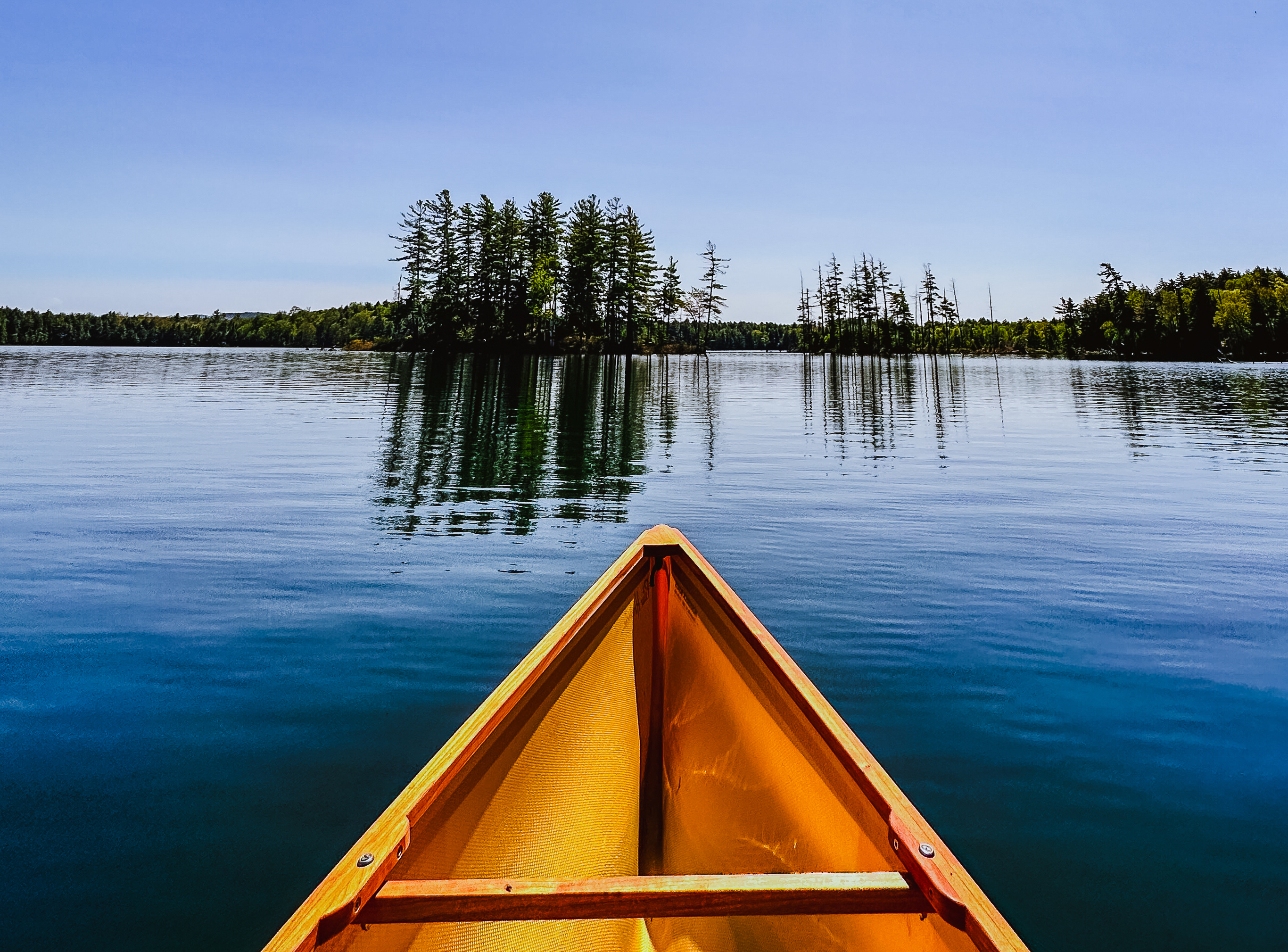
As always, remember you are heading out into the backcountry and need to be prepared. The Nine Carries is a serious route, but it’s seriously fun if you’re prepared. By practicing Leave No Trace ethics while using the outdoors, you’re helping ensure that you and others after you have an enjoyable experience. If you head into town after your trip, be sure to check out some of the delicious local dining options or fun events.
June might officially be Celebrate Paddling Month here in Saranac Lake, but we're happy to be on the water all summer long. So, launch those canoes! It's time to take those boats for a paddle (and walk!) in the wilderness and celebrate paddling.
