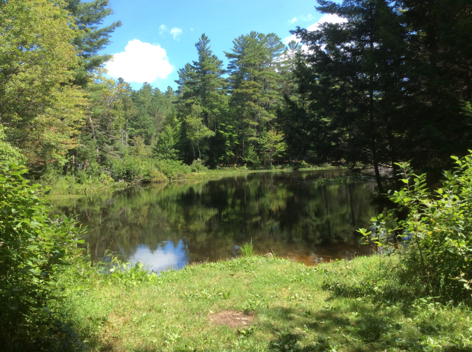
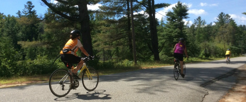
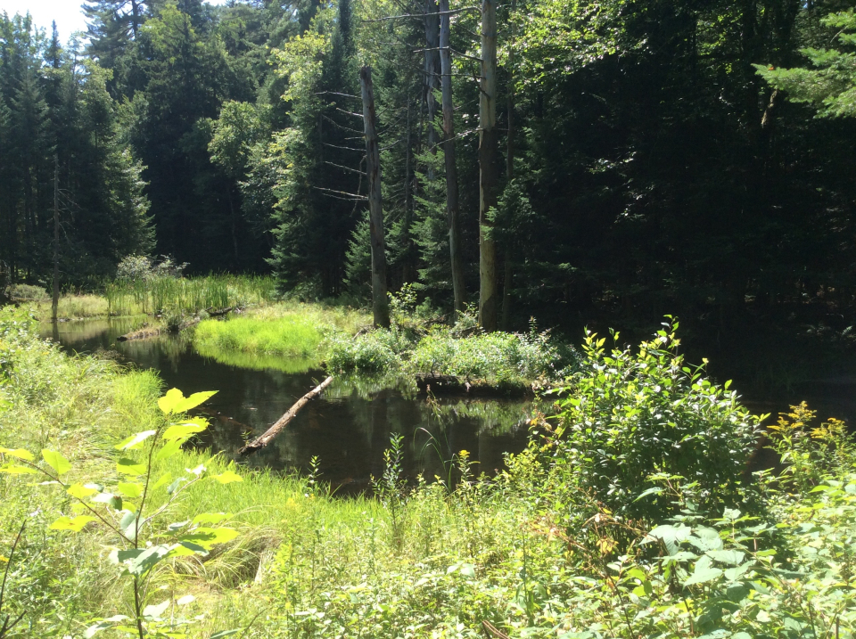
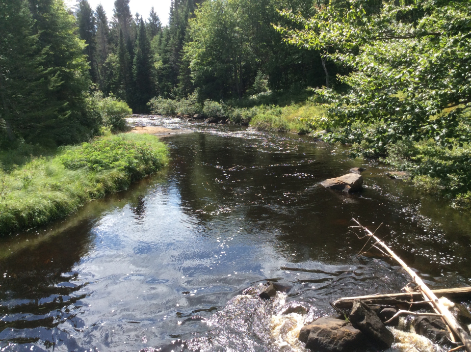
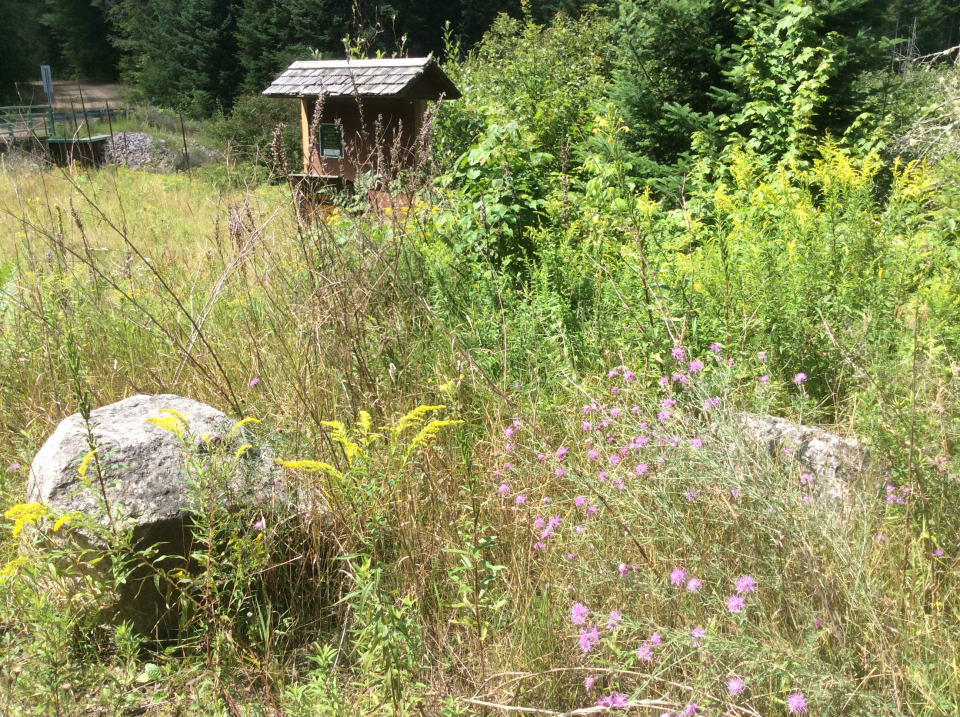
A combination of paved and dirt roads creates a difficulty level of beginner. The scenery is wonderful and the birding is excellent!
How to get there
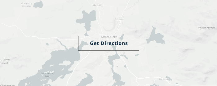
From downtown Saranac Lake, head west on Route 86, toward Paul Smiths. At the four-way intersection with Paul Smith's College, turn right on Route 30 and take the first left on Keese Mill Road. Follow Keese Mill Road for just under 3 miles to the St. Regis Mountain trailhead parking on the left. The road continues beyond this and eventually turns to packed dirt. Travel can be tricky in winter or mud season; please be careful of getting stuck. Blue Mountain Road eventually ends near St. Regis Falls. You can either go back the way you came or link up to Route 458, which will take you to Route 86 and lead you back to Saranac Lake.
Cycling
As you cycle along, you'll pass through forest with interesting glacial errata. As you cross Bay Pond and Ross parklands, the land becomes taken over with blueberry barrens from a massive forest fire at the turn of the 20th century. You'll see the profile of St. Regis Mountain to the south. The road is packed dirt and can be rough at times.
Birding
The road along the St. Regis River leads to a spruce and fir forest, where birders can enjoy boreal birds like the Canada Jay and Black-backed Woodpecker. Keep your eyes peeled, you might see an elusive Spruce Grouse while on this route!
Packages and Promotions
Valid Dec. 1
- Dec. 1
Valid Dec. 1
- Dec. 1
Linger Longer in Saranac Lake
Best Western Saranac Lake
Linger Longer in Saranac Lake at our supremely located property, Best Western Saranac Lake. Stay 2 nights or more and get 15% off!
Valid Jan. 21
- Mar. 31
Valid Jan. 21
- Mar. 31
Titus Mountain Ski Package
Voco Saranac Lake
Enjoy your stay at the award winning voco Saranac Lake which includes two adult lift tickets at Titus Mountain Family Ski Center. Additional...
Valid Jun. 20
- Sep. 7
Valid Mar. 12
- Jun. 30
Guided Nature Immersions - 10% off for Pre-Season Registration
Adirondack Riverwalking & Forest Bathing
Picture it now...you are wading the Ausable River on a warm summer day, feel the cool water against you, hear the sounds of the birds and the...
Valid Jan. 16
- Mar. 31
Valid Jan. 16
- Mar. 31
Hotel Saranac Sled & Spoke Package
Hotel Saranac
Snowmobile Package Hotel Saranac and Sara-Placid Sled & Spoke have partnered so you and a guest can explore dozens of miles of ADK snowmobile...
Valid Jan. 16
- Mar. 31
Valid Jan. 16
- Mar. 31
Hotel Saranac Ski & Stay Package
Hotel Saranac
Stay & Ski Package Stay at Hotel Saranac and Ski Titus Mountain Day or Night Package Your room reservation includes one adult lift ticket....
Valid Jan. 21
- Jan. 21
Valid Jan. 21
- Jan. 21
Pet Getaway
Voco Saranac Lake
Your dog deserves an Adirondack getaway too. Book our pet friendly hotel near Lake Placid welcomes every member of your crew. Book our Pet Package...
Valid Jan. 21
- Jan. 21
Valid Jan. 21
- Jan. 21
Stay and Dine
Voco Saranac Lake
Receive a 50 dollar credit per stay to use in our Boathouse Saranac Lake Pub. Enjoy an exceptional dining experience with unparalleled views great...
