Jenkins Mountain
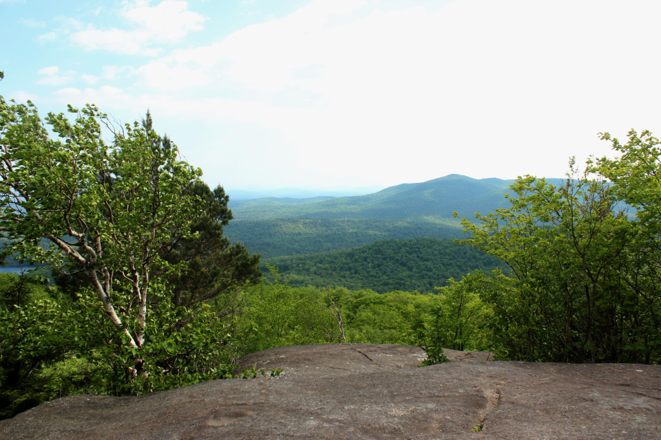
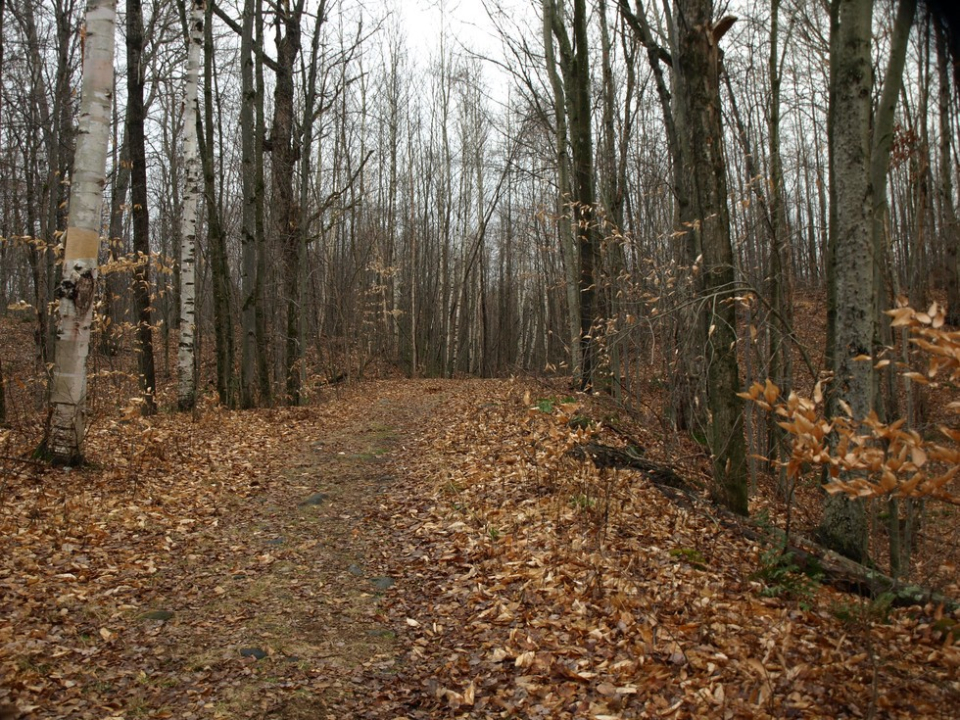
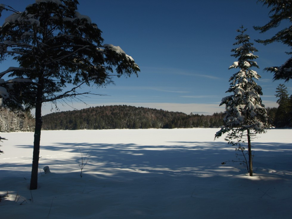
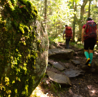
The hike up Jenkins from the Paul Smith's College VIC is long, but well worth it for views of the St. Regis Canoe Area and beyond. Because of its length, be prepared for your hike, and ensure that you have all the gear you need.
Key takeaways
- Distance: 8 miles round trip
- Elevation gain: about 1,350 feet
- Elevation: 2,513 feet
- Hike includes trail junctions and bridges
Hiking Jenkins Mountain
Cross the paved road you drove in on and head for the gazebo. Follow the trail as it dips down to Heron Marsh and crosses Barnum Brook, after which it officially becomes the Jenkins Mountain Trail. Continue through a pleasant hardwood forest to a T-intersection and turn right, following the blue trail markers. The trail meanders through the forest without gaining or losing much elevation. It soon passes the Black Pond/Long Pond trail, described below, before passing a couple attractive beaver ponds. Shortly after the ponds, the trail makes a broad sweep around the base of the mountain before the moderate climb to the partially open summit begins. The outstanding view includes waterways and some attractive wilderness peaks.
Jenkins in the winter
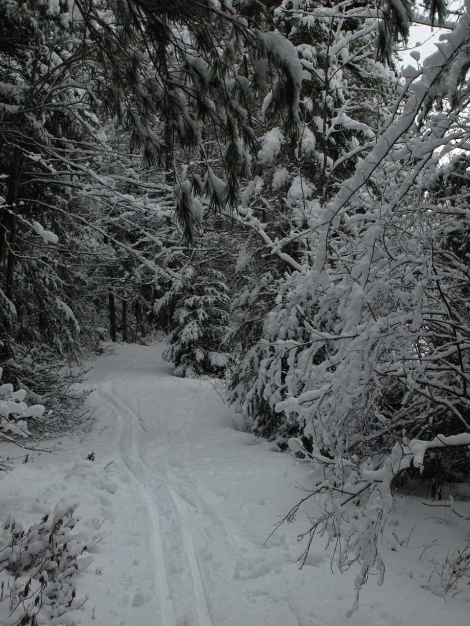
This is a long, but considered only moderate, ski or shoe, with lots of switchbacks to keep it doable if you have the experience. Keep a look out for blue markings if there's a fresh snow and no trail broken out.
New as of 2023, backcountry skiers now have access to the Jenkins Mountain Open Woods Ski Zone. The “Where’s Ron Kon?” ski trails are an advanced backcountry skiing experience where hidden hazards, changing conditions, and varied terrain all affect your safety. By entering this terrain you waive any liability. Users of the area are required to have a Paul Smith’s College VIC trail pass and the following equipment: helmet, climbing skins, alpine touring ski equipment. Snowshoes are not permitted on the backcountry ski trails.
Explore more trails in Saranac Lake
Does Jenkins sound amazing, but a little more than you want to tackle right now? No need to stress, we can help you find a uniquely Saranac Lake trail that’s right for you!
How to get there
From downtown Saranac Lake, take Route 86 west, toward Paul Smiths, for about 10 miles. At the intersection with the college, turn right on Route 30. The VIC is on the left, about a mile past the turn. Turn into the well-marked driveway and follow it to the large parking area.
Packages and Promotions
Valid
-
Valid Nov. 23
- Feb. 28
weekly on Sunday until November 23, 2026
Industry Night Sundays at Bitters and Bones
Industry Night Sundays - Bitters & Bones | 8–11 PM. All restaurant, bar, and hotel industry workers enjoy: 50% off draft beers, 50% off well...
Valid Jan. 21
- Jan. 21
Valid Jan. 21
- Jan. 21
Stay and Dine
Voco Saranac Lake
Receive a 50 dollar credit per stay to use in our Lakeside Drift. Enjoy an exceptional dining experience with unparalleled views great food and...
