Panther Mountain
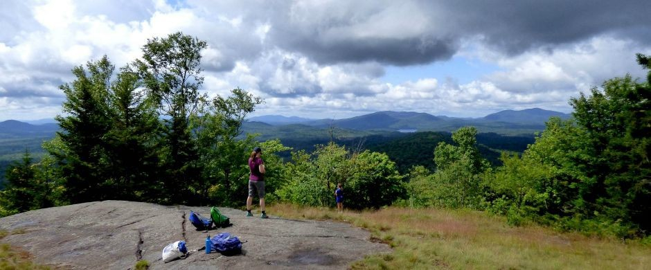
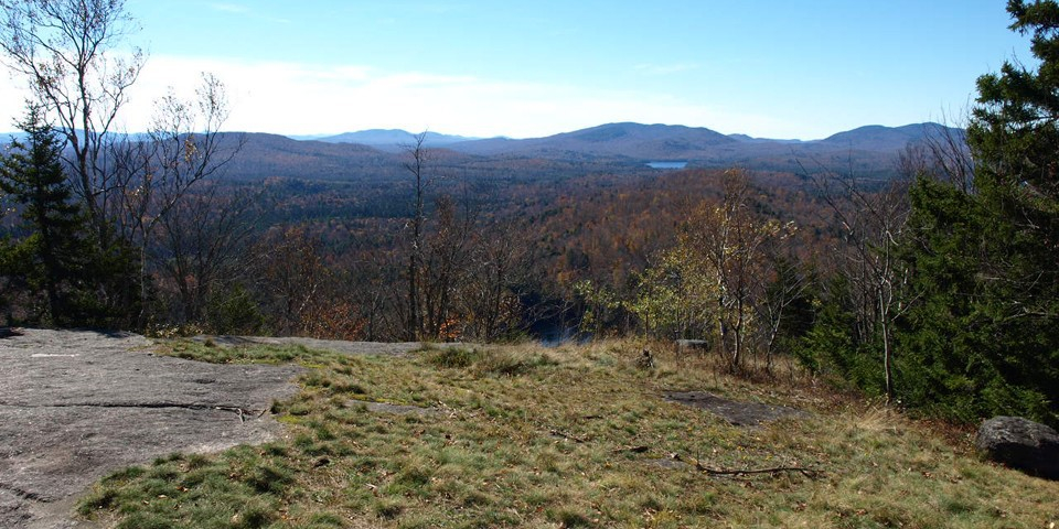
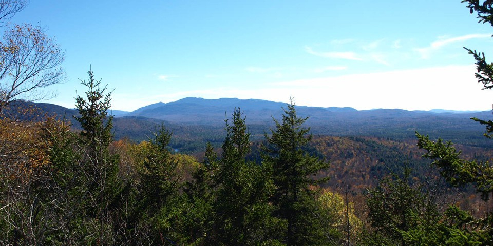
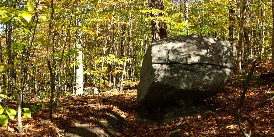
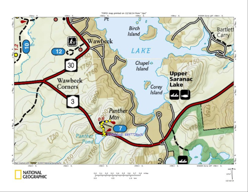
Panther Mountain is a short, but steep, "bang for your buck" hike leading to fabulous views of distant mountains and Panther Pond below.
Key takeaways
- Distance: 0.9 miles round trip
- Elevation gain: 475 feet
- Mountain elevation: 2,236 feet
Hiking Panther Mountain
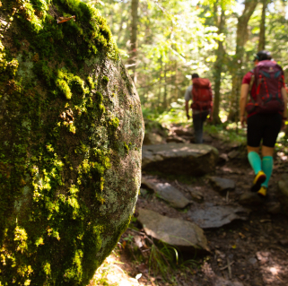
Crossing the road from the parking lot, the trail starts climbing right away with tall pines towering over you. The trail then swings west to reduce the grade a bit and then back to the east to gain a small ridge that brings you to the partially open summit. From the summit area the Seward Range can be seen to the south, and Panther Pond below.
Panther in the winter
In the winter, the parking area is typically open, and many people do snowshoe up. Being a bit steeper, it is also a good idea to be prepared and bring microspikes.
Discover more trails
Does Panther Mountain sound amazing, but a little more than you want to tackle right now? No need to stress, with endless mountains, lakes, and waterfalls to visit in the Adirondacks, we are sure we can help you discover a trail that’s just right!
How to get there
From the intersection of Route 3 and Route 86 in Saranac Lake, take state Route 3 toward Tupper Lake for 13.1 miles. There is a small parking area on the left, and the trail starts about 100 yards further on the opposite side of the road.
Packages and Promotions
Valid Jan. 21
- Jan. 21
Valid Jan. 21
- Jan. 21
Stay and Dine
Voco Saranac Lake
Receive a 50 dollar credit per stay to use in our Lakeside Drift. Enjoy an exceptional dining experience with unparalleled views great food and...
Valid Apr. 1
- Jan. 30
Valid Jan. 21
- Jan. 21
Pet Getaway
Voco Saranac Lake
Your dog deserves an Adirondack getaway too. Book our pet friendly hotel near Lake Placid welcomes every member of your crew. Book our Pet Package...
Valid Jan. 4
- Feb. 28
Valid Dec. 4
- Feb. 22
Relax at Alpenglow - Winter Rental Discount
<p>Relax with your extended family in a winter wonderland! Book now for 10% off weekly winter rentals. </p>
